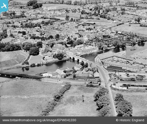
EPW041330 ENGLAND (1933). Huntingdon Bridge and environs, Huntingdon, 1933
© Copyright OpenStreetMap contributors and licensed by the OpenStreetMap Foundation. 2026. Cartography is licensed as CC BY-SA.
Nearby Images (17)
EPW041330

EPW041329

EAW031845

EAW031839

EAW031843

EAW051767

EAW031838

EAW031840

EAW031841

EPW014429

EAW031842

EAW031844

EAW031837

EPW014427

EAW003736

EAW051769

EAW051768

Details
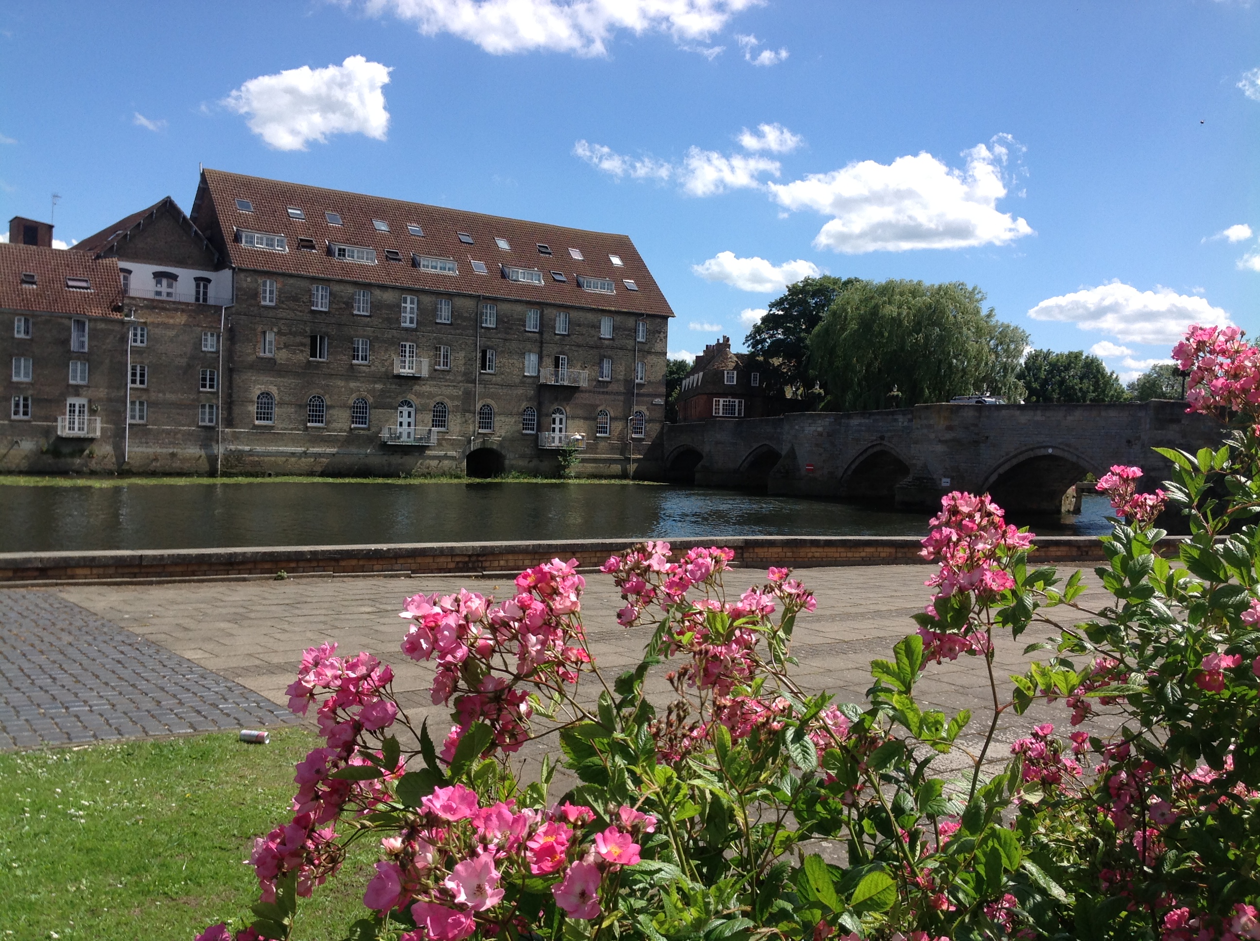
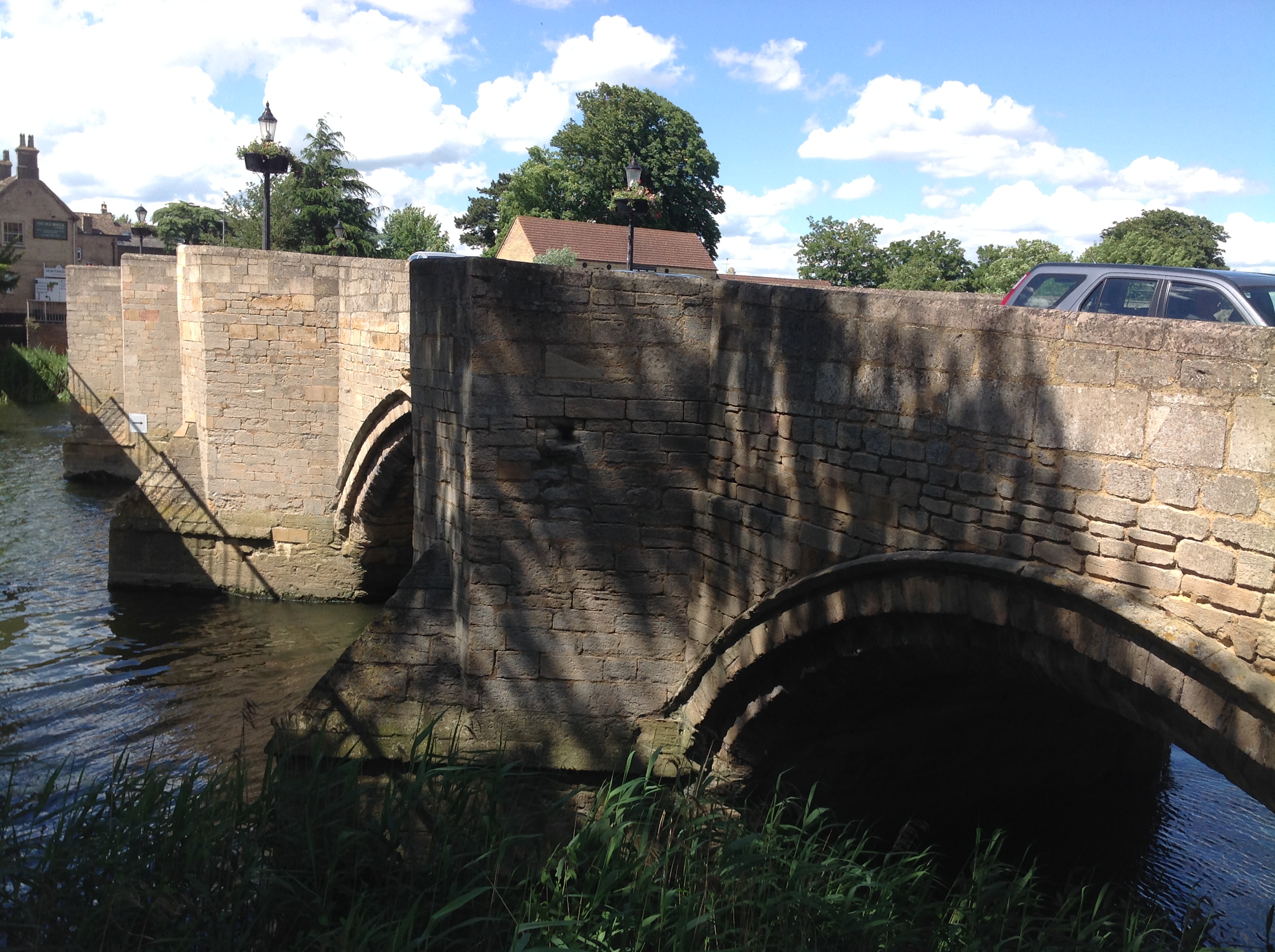
| Title | [EPW041330] Huntingdon Bridge and environs, Huntingdon, 1933 |
| Reference | EPW041330 |
| Date | May-1933 |
| Link | |
| Place name | HUNTINGDON |
| Parish | HUNTINGDON |
| District | |
| Country | ENGLAND |
| Easting / Northing | 524271, 271484 |
| Longitude / Latitude | -0.17623468372813, 52.326971708276 |
| National Grid Reference | TL243715 |
Pins

Class31 |
Wednesday 10th of September 2014 09:01:52 AM | |
|
Class31 |
Wednesday 10th of September 2014 09:00:57 AM | |
|
Class31 |
Wednesday 10th of September 2014 08:59:48 AM | |
|
Class31 |
Wednesday 10th of September 2014 08:56:57 AM | |

John Wass |
Tuesday 9th of September 2014 03:44:44 PM |