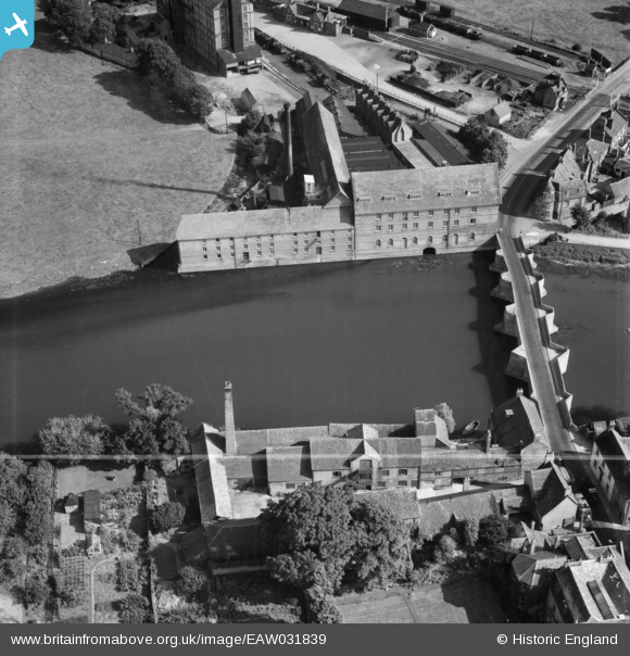
EAW031839 ENGLAND (1950). Huntingdon Hosiery Mill, Godmanchester, 1950. This image was marked by Aerofilms Ltd for photo editing.
© Copyright OpenStreetMap contributors and licensed by the OpenStreetMap Foundation. 2026. Cartography is licensed as CC BY-SA.
Nearby Images (16)
EAW031839

EAW031845

EAW031840

EAW031841

EAW031842

EAW031843

EPW041330

EAW031838

EPW041329

EPW014429

EAW031844

EAW031837

EAW051767

EAW003736

EPW014427

EAW051769

Details
| Title | [EAW031839] Huntingdon Hosiery Mill, Godmanchester, 1950. This image was marked by Aerofilms Ltd for photo editing. |
| Reference | EAW031839 |
| Date | 14-August-1950 |
| Link | |
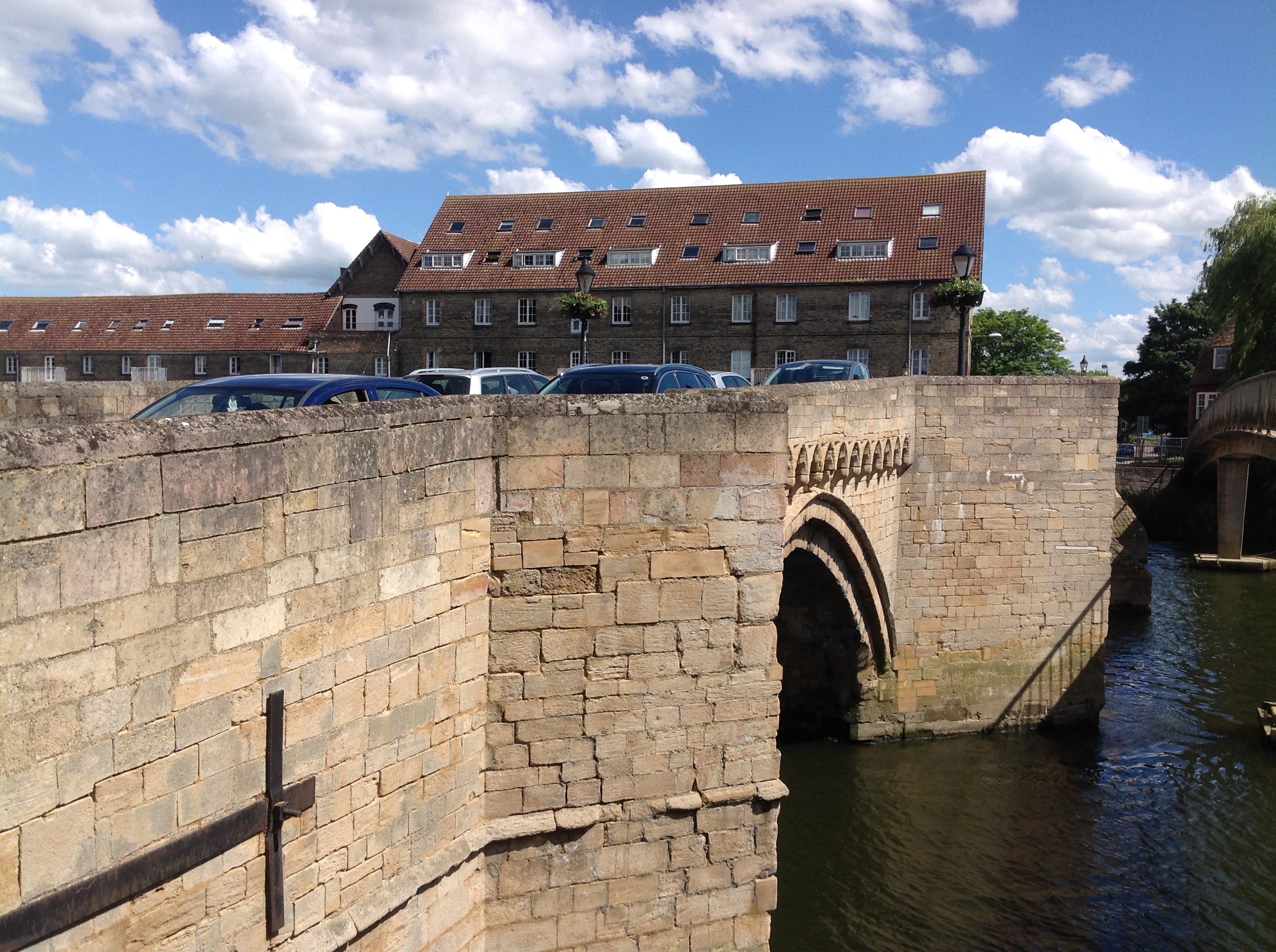
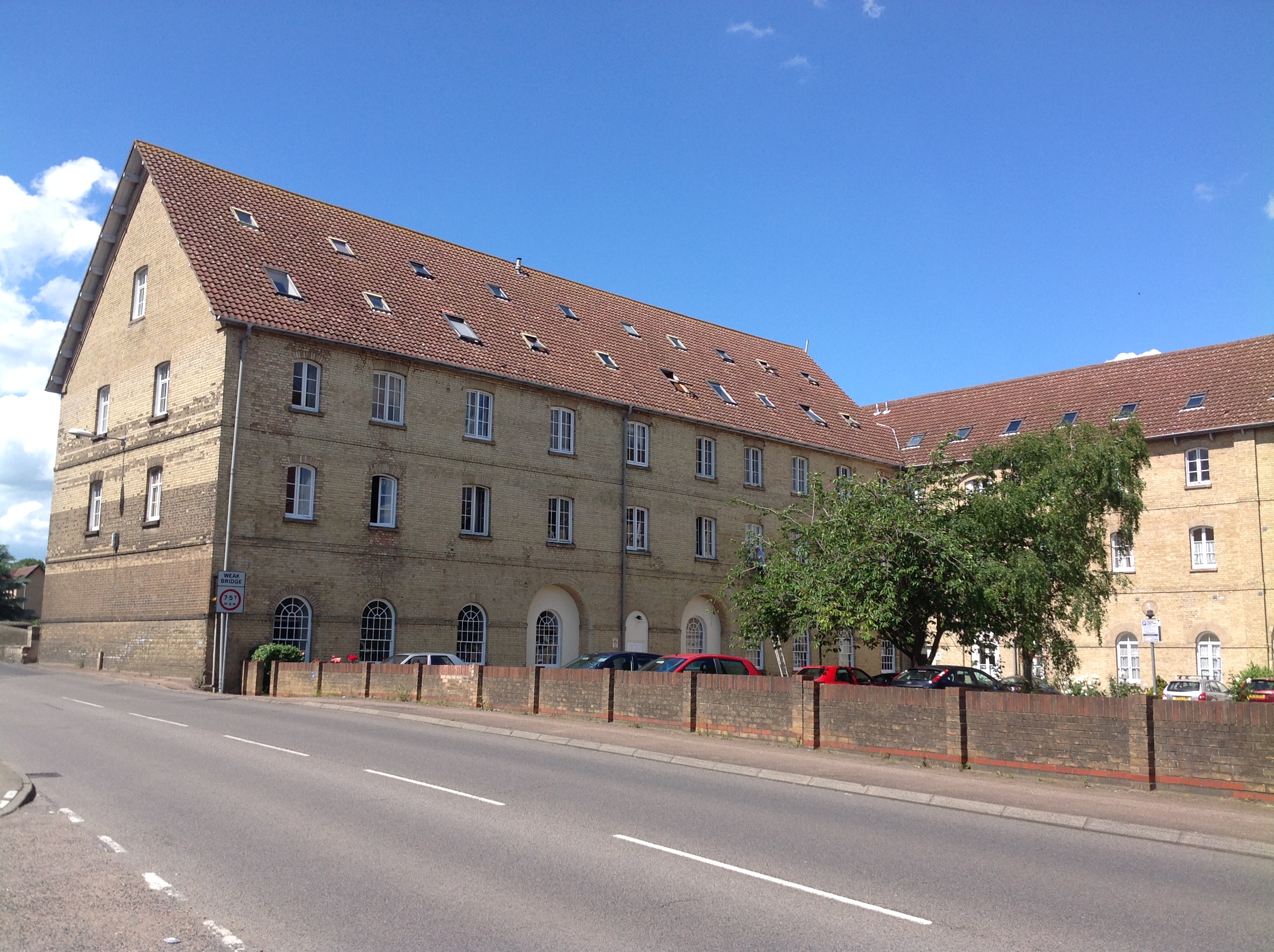
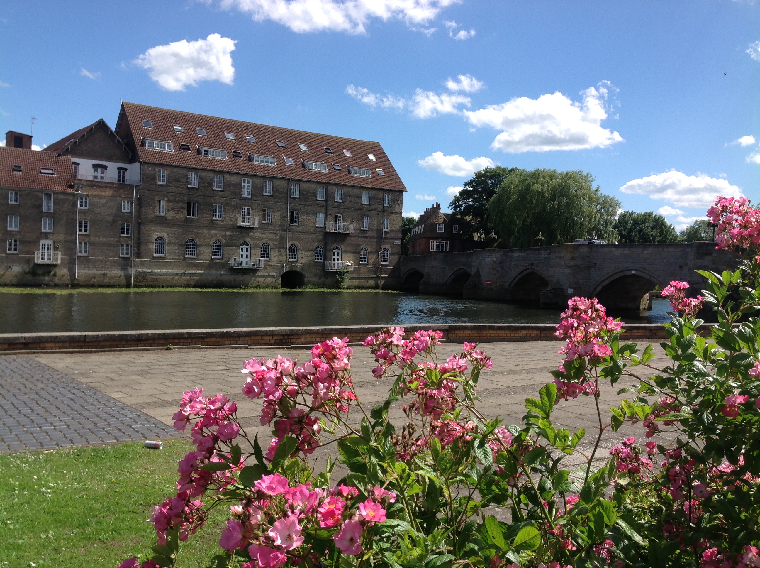
| Place name | GODMANCHESTER |
| Parish | GODMANCHESTER |
| District | |
| Country | ENGLAND |
| Easting / Northing | 524331, 271496 |
| Longitude / Latitude | -0.17535018718549, 52.327065955702 |
| National Grid Reference | TL243715 |
Pins

Matt Aldred edob.mattaldred.com |
Thursday 7th of March 2024 05:05:10 PM |