
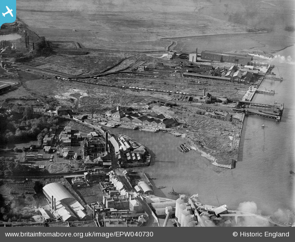
EPW040730 ENGLAND (1932). Robins Creek, Northfleet, 1932
© Copyright OpenStreetMap contributors and licensed by the OpenStreetMap Foundation. 2026. Cartography is licensed as CC BY-SA.
Nearby Images (12)
EPW040730

EPW040728

EPW028497

EAW050795

EPW028499

EPW028500

EPW040726

EPW040727

EPW040729

EAW042591

EAW042590

EAW042587

Details
| Title | [EPW040730] Robins Creek, Northfleet, 1932 |
| Reference | EPW040730 |
| Date | October-1932 |
| Link | |
| Place name | NORTHFLEET |
| Parish | |
| District | |
| Country | ENGLAND |
| Easting / Northing | 561713, 175009 |
| Longitude / Latitude | 0.32757399496317, 51.450451010472 |
| National Grid Reference | TQ617750 |
Pins

Conrad |
Monday 24th of June 2013 09:53:29 PM | |

Dylan Moore |
Wednesday 8th of May 2013 08:19:35 PM | |
|
Dylan Moore |
Saturday 4th of May 2013 02:55:23 AM | |
|
Dylan Moore |
Saturday 4th of May 2013 02:53:40 AM | |
|
Dylan Moore |
Saturday 4th of May 2013 02:52:33 AM |