
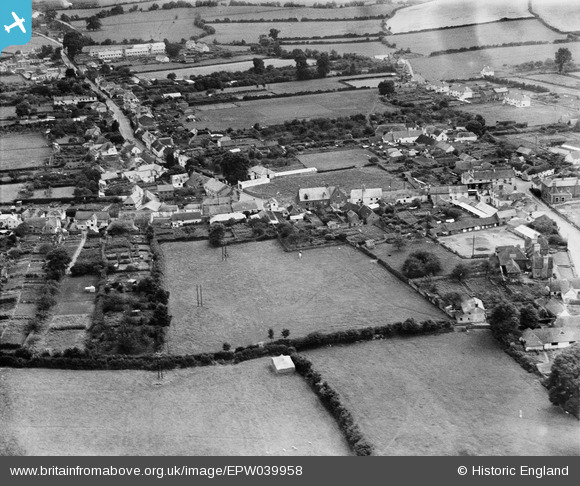
EPW039958 ENGLAND (1932). Long Street and environs, Williton, 1932
© Copyright OpenStreetMap contributors and licensed by the OpenStreetMap Foundation. 2025. Cartography is licensed as CC BY-SA.
Nearby Images (4)
EPW039958

EPW033362

EPW033364

EPW039956

Details
| Title | [EPW039958] Long Street and environs, Williton, 1932 |
| Reference | EPW039958 |
| Date | August-1932 |
| Link | |
| Place name | WILLITON |
| Parish | WILLITON |
| District | |
| Country | ENGLAND |
| Easting / Northing | 307665, 141056 |
| Longitude / Latitude | -3.3206033306514, 51.160771011333 |
| National Grid Reference | ST077411 |
Pins
Be the first to add a comment to this image!