
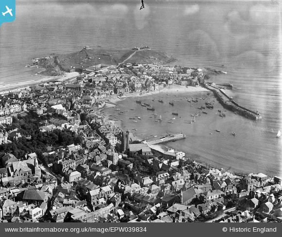
EPW039834 ENGLAND (1932). St Andrew's Church, the harbour and the town, St Ives, 1932
© Copyright OpenStreetMap contributors and licensed by the OpenStreetMap Foundation. 2026. Cartography is licensed as CC BY-SA.
Nearby Images (10)
EPW039834

EPW021748

EPW039835

EAW257342

EPW021752

EPW021747

EPW021744

EPW021745

EPW059854

EPW059855

Details
| Title | [EPW039834] St Andrew's Church, the harbour and the town, St Ives, 1932 |
| Reference | EPW039834 |
| Date | August-1932 |
| Link | |
| Place name | ST IVES |
| Parish | ST. IVES |
| District | |
| Country | ENGLAND |
| Easting / Northing | 151898, 40703 |
| Longitude / Latitude | -5.4780179108372, 50.213603492692 |
| National Grid Reference | SW519407 |
Pins
Be the first to add a comment to this image!
User Comment Contributions
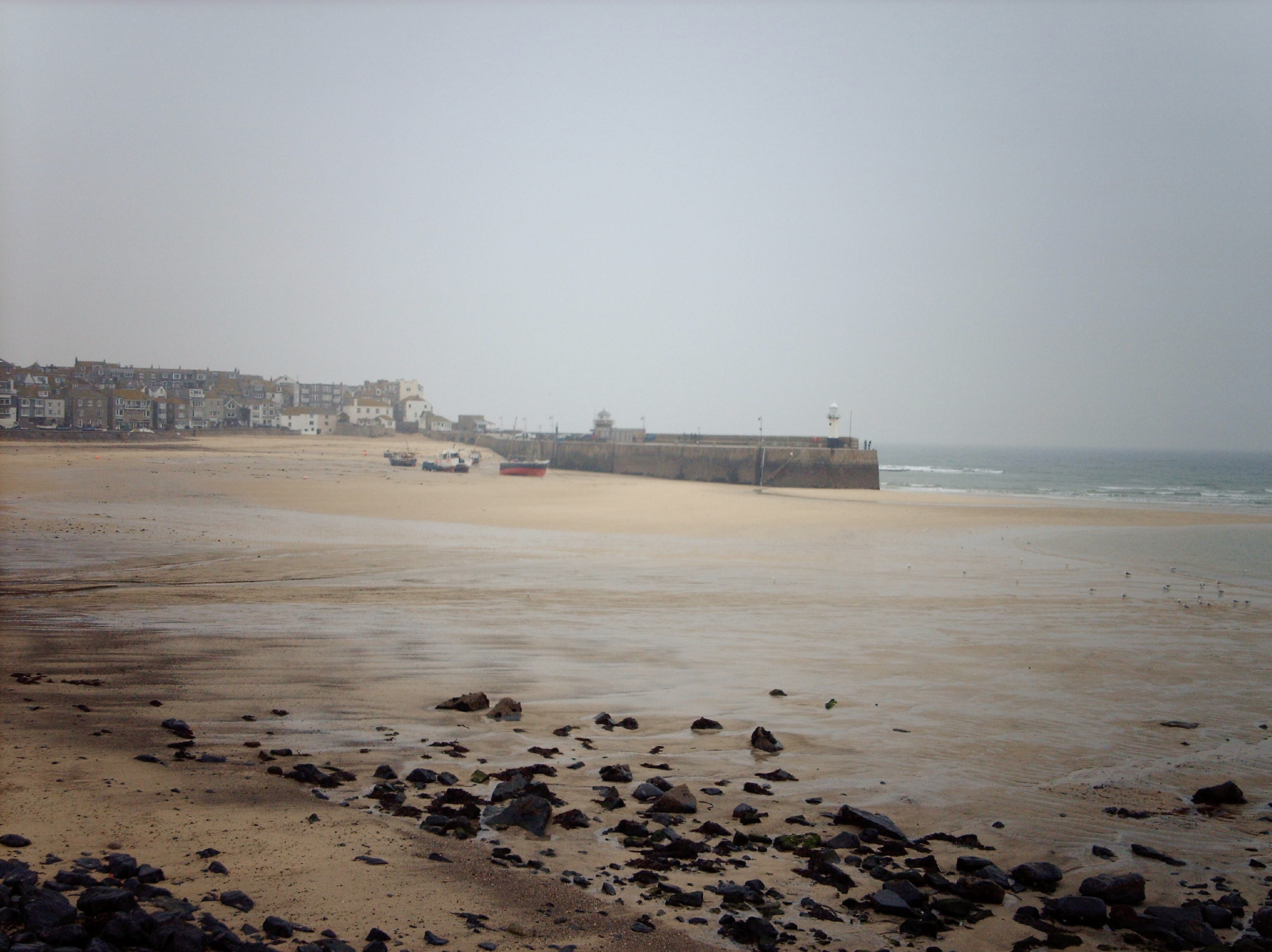
St. Ives harbour at low tide |

Class31 |
Friday 20th of December 2013 04:52:05 PM |