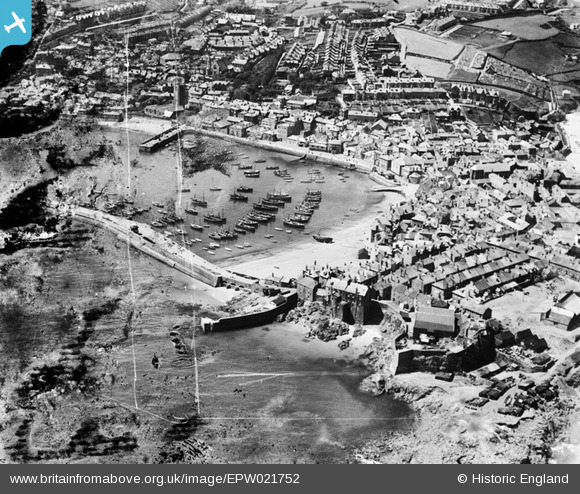
EPW021752 ENGLAND (1928). The harbour and the town, St Ives, 1928
© Copyright OpenStreetMap contributors and licensed by the OpenStreetMap Foundation. 2025. Cartography is licensed as CC BY-SA.
Nearby Images (10)
Details
| Title | [EPW021752] The harbour and the town, St Ives, 1928 |
| Reference | EPW021752 |
| Date | 24-June-1928 |
| Link | |
| Place name | ST IVES |
| Parish | ST. IVES |
| District | |
| Country | ENGLAND |
| Easting / Northing | 152005, 40766 |
| Longitude / Latitude | -5.4765620108092, 50.214213957489 |
| National Grid Reference | SW520408 |
Pins
Be the first to add a comment to this image!
User Comment Contributions
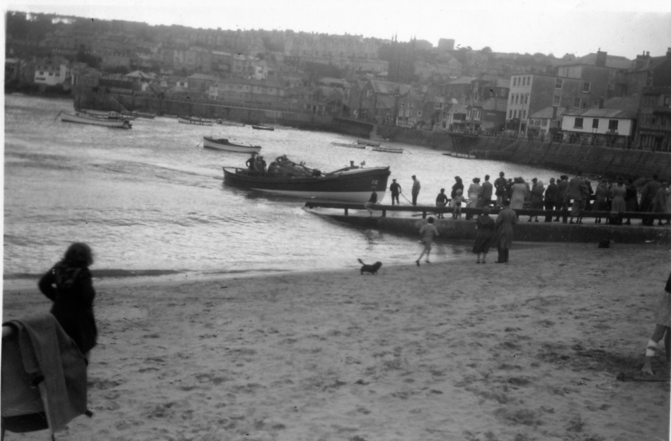
This is a photo of the St Ives lifeboat taken 1952,found in a old album bought at an antiques fair last year |

Coaster |
Sunday 5th of May 2013 03:17:22 PM |
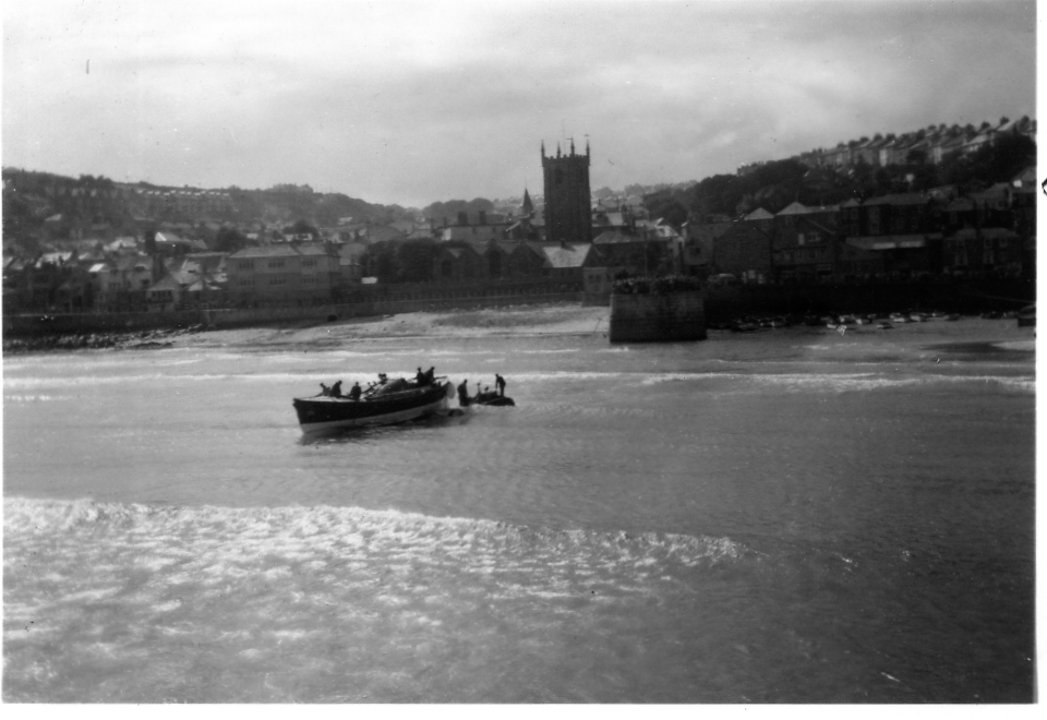
This is a photo of the St Ives lifeboat taken 1952,found in a old album bought at an antiques fair last year |

Coaster |
Sunday 5th of May 2013 03:15:18 PM |
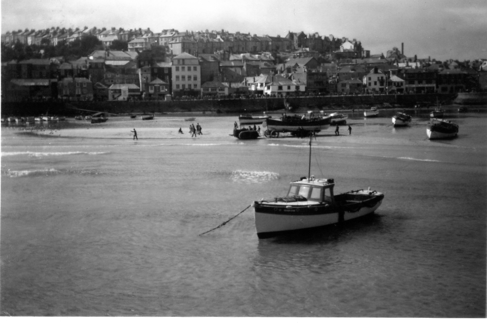
This is One of a series of photos of the St Ives lifeboat taken 1952,found in a old album bought at an antiques fair last year |

Coaster |
Sunday 5th of May 2013 03:14:43 PM |
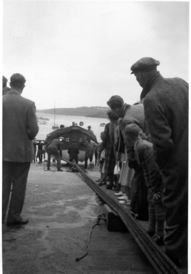
This is a photo of the St Ives lifeboat taken 1952,found in a old album bought at an antiques fair last year |

Coaster |
Sunday 5th of May 2013 03:12:57 PM |

![[EPW021752] The harbour and the town, St Ives, 1928](http://britainfromabove.org.uk/sites/all/libraries/aerofilms-images/public/100x100/EPW/021/EPW021752.jpg)
![[EAW257342] The harbour and town, St Ives, 1973](http://britainfromabove.org.uk/sites/all/libraries/aerofilms-images/public/100x100/EAW/257/EAW257342.jpg)
![[EPW021747] The harbour and the town, St Ives, 1928](http://britainfromabove.org.uk/sites/all/libraries/aerofilms-images/public/100x100/EPW/021/EPW021747.jpg)
![[EPW039835] A flock of gulls flying over the harbour and the town, St Ives, 1932](http://britainfromabove.org.uk/sites/all/libraries/aerofilms-images/public/100x100/EPW/039/EPW039835.jpg)
![[EPW021745] The harbour and the town, St Ives, 1928](http://britainfromabove.org.uk/sites/all/libraries/aerofilms-images/public/100x100/EPW/021/EPW021745.jpg)
![[EPW021748] The Harbour and the town, St Ives, 1928. This image has been produced from a copy-negative.](http://britainfromabove.org.uk/sites/all/libraries/aerofilms-images/public/100x100/EPW/021/EPW021748.jpg)
![[EPW059855] St Ives Head, St Ives, from the south-east, 1938](http://britainfromabove.org.uk/sites/all/libraries/aerofilms-images/public/100x100/EPW/059/EPW059855.jpg)
![[EPW021744] Porthmeor Beach and the town, St Ives, 1928. This image has been produced from a copy-negative.](http://britainfromabove.org.uk/sites/all/libraries/aerofilms-images/public/100x100/EPW/021/EPW021744.jpg)
![[EPW039834] St Andrew's Church, the harbour and the town, St Ives, 1932](http://britainfromabove.org.uk/sites/all/libraries/aerofilms-images/public/100x100/EPW/039/EPW039834.jpg)
![[EPW059854] Porthmeor Beach, the harbour and town, St Ives, from the north-west, 1938](http://britainfromabove.org.uk/sites/all/libraries/aerofilms-images/public/100x100/EPW/059/EPW059854.jpg)