
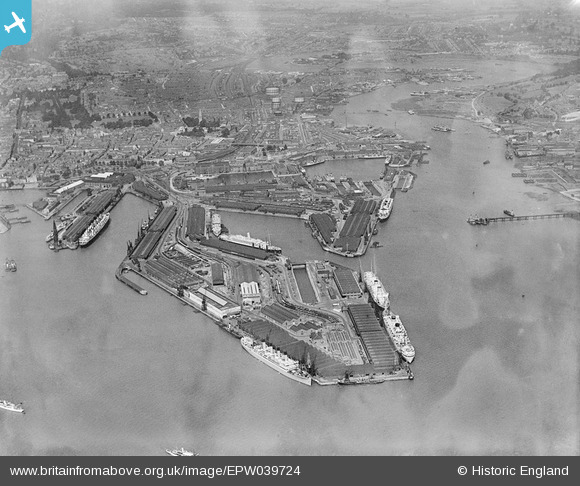
EPW039724 ENGLAND (1932). The Docks, Southampton, from the south, 1932
© Copyright OpenStreetMap contributors and licensed by the OpenStreetMap Foundation. 2026. Cartography is licensed as CC BY-SA.
Nearby Images (17)
EPW039724

EAW033414

EPW037412

EAW033432

EPW037411

EPW009067

EPW041071

EPW009064

EAW001369
 in Ocean Dock, Southampton, 1946")
EAW001345

EAW033411

EAW033409

EPW009068

EAW035242

EAW001348

EAW001349

EAW001346

Details
| Title | [EPW039724] The Docks, Southampton, from the south, 1932 |
| Reference | EPW039724 |
| Date | August-1932 |
| Link | |
| Place name | SOUTHAMPTON |
| Parish | |
| District | |
| Country | ENGLAND |
| Easting / Northing | 442668, 109870 |
| Longitude / Latitude | -1.3933527460989, 50.886186190765 |
| National Grid Reference | SU427099 |
Pins

Twinotterpilot |
Tuesday 21st of February 2023 10:23:22 PM | |
 |

Class31 |
Tuesday 6th of August 2013 09:10:45 AM |
|
Isleworth1961 |
Sunday 23rd of June 2013 03:07:12 PM | |
|
Isleworth1961 |
Sunday 23rd of June 2013 03:00:40 PM |
User Comment Contributions
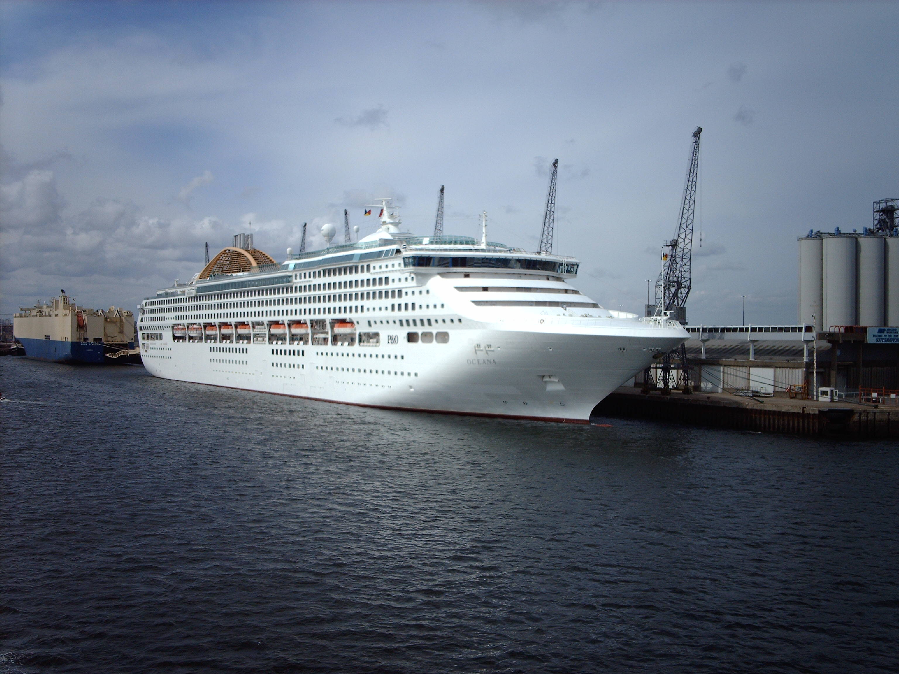
A recent shot of Oceana on berth 38 at the Eastern Docks. |
Class31 |
Sunday 23rd of June 2013 07:09:47 PM |