
EPW039713 ENGLAND (1932). The seafront from Long Ledge to Lucy's Ledge and the town, Lyme Regis, 1932

© Copyright OpenStreetMap contributors and licensed by the OpenStreetMap Foundation. 2026. Cartography is licensed as CC BY-SA.
Nearby Images (21)
EPW039713

EPW013478

EPW023896

EPW013475

EPW013474

EAW033564

EAW033566

EAW033561

EPW023892

EPW024181

EPW039715

EAW033663

EAW033562

EAW033565

EAW033559

EAW033560

EAW033563

EAW050063

EAW033662

EPW024179

EAW050064

Details
| Title | [EPW039713] The seafront from Long Ledge to Lucy's Ledge and the town, Lyme Regis, 1932 |
| Reference | EPW039713 |
| Date | August-1932 |
| Link | |
| Place name | LYME REGIS |
| Parish | LYME REGIS |
| District | |
| Country | ENGLAND |
| Easting / Northing | 334311, 92061 |
| Longitude / Latitude | -2.9307307240097, 50.723881216129 |
| National Grid Reference | SY343921 |
Pins

Alan McFaden |
Friday 11th of April 2014 09:20:59 AM | |

Class31 |
Monday 10th of February 2014 12:58:15 PM | |
|
Class31 |
Monday 10th of February 2014 12:56:52 PM |


User Comment Contributions
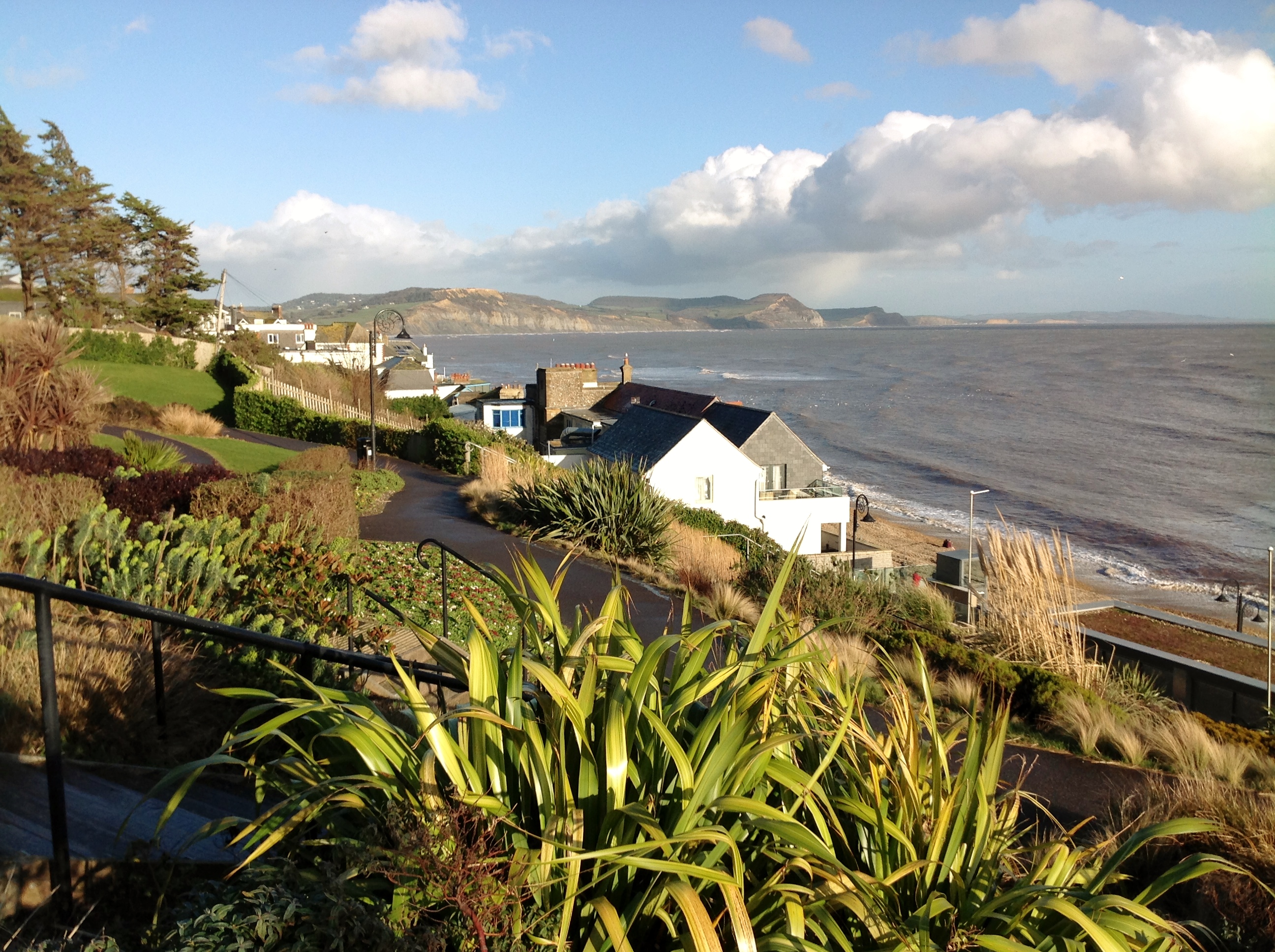
View from the Langmoor Gardens 09/02/2014 |
Class31 |
Monday 10th of February 2014 01:01:02 PM |