
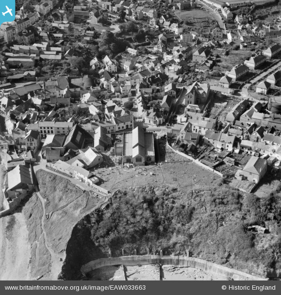
EAW033663 ENGLAND (1950). St Michael's Church, Lyme Regis, 1950
© Copyright OpenStreetMap contributors and licensed by the OpenStreetMap Foundation. 2026. Cartography is licensed as CC BY-SA.
Nearby Images (21)
EAW033663

EAW033561

EAW033560

EAW033559

EAW033565

EAW033564

EAW033562

EAW033566

EAW033662

EAW033563

EPW013474

EPW013475

EPW023892

EPW013478

EPW039713

EAW050063

EPW023896

EPW024179

EPW024181

EPW039715

EAW050064

Details
| Title | [EAW033663] St Michael's Church, Lyme Regis, 1950 |
| Reference | EAW033663 |
| Date | 12-October-1950 |
| Link | |
| Place name | LYME REGIS |
| Parish | LYME REGIS |
| District | |
| Country | ENGLAND |
| Easting / Northing | 334342, 92207 |
| Longitude / Latitude | -2.9303175546941, 50.725197628298 |
| National Grid Reference | SY343922 |
Pins

Dank |
Sunday 22nd of February 2026 08:46:50 PM | |
|
redmist |
Wednesday 21st of September 2022 01:46:49 PM | |

Alan McFaden |
Tuesday 20th of May 2014 04:20:25 PM | |
|
Alan McFaden |
Tuesday 20th of May 2014 04:19:52 PM |

