
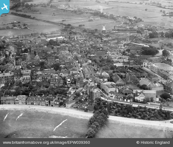
EPW039360 ENGLAND (1932). The town centre, Rye, 1932
© Copyright OpenStreetMap contributors and licensed by the OpenStreetMap Foundation. 2026. Cartography is licensed as CC BY-SA.
Nearby Images (15)
EPW039360

EPW039358

EPW026238

EPW026243

EPW026245

EPW026240

EPW026239

EPW026236

EPW026242

EPW000159

EPW035354

EPW000127

EPW000157

EPW026241

EAW014594

Details
| Title | [EPW039360] The town centre, Rye, 1932 |
| Reference | EPW039360 |
| Date | July-1932 |
| Link | |
| Place name | RYE |
| Parish | RYE |
| District | |
| Country | ENGLAND |
| Easting / Northing | 592139, 120439 |
| Longitude / Latitude | 0.73579066971719, 50.950764392792 |
| National Grid Reference | TQ921204 |
