
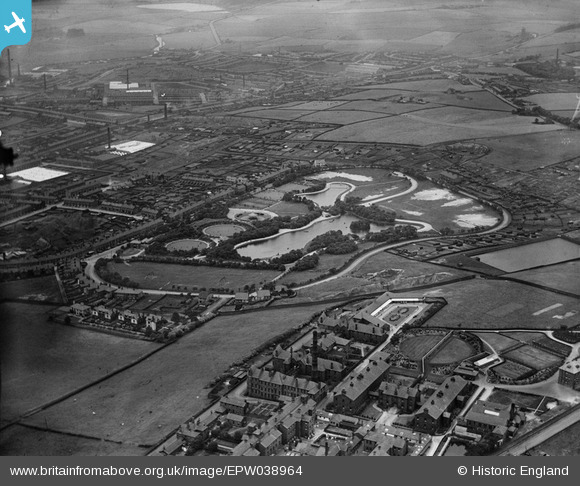
EPW038964 ENGLAND (1932). Queen's Park and environs, Blackburn, 1932
© Copyright OpenStreetMap contributors and licensed by the OpenStreetMap Foundation. 2026. Cartography is licensed as CC BY-SA.
Nearby Images (7)
EPW038964

EPW038967

EPW038965

EPW038963

EPW038966

EPW013378

EPW013925

Details
| Title | [EPW038964] Queen's Park and environs, Blackburn, 1932 |
| Reference | EPW038964 |
| Date | July-1932 |
| Link | |
| Place name | BLACKBURN |
| Parish | |
| District | |
| Country | ENGLAND |
| Easting / Northing | 369722, 427227 |
| Longitude / Latitude | -2.4591037127731, 53.740323893381 |
| National Grid Reference | SD697272 |
Pins

magpie62 |
Sunday 2nd of June 2013 11:33:30 PM |