
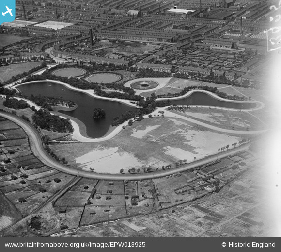
EPW013925 ENGLAND (1925). Queens Park and environs, Blackburn, 1925
© Copyright OpenStreetMap contributors and licensed by the OpenStreetMap Foundation. 2026. Cartography is licensed as CC BY-SA.
Nearby Images (7)
EPW013925

EPW038966

EPW013378

EPW038963

EPW038967

EPW038964

EPW038965

Details
| Title | [EPW013925] Queens Park and environs, Blackburn, 1925 |
| Reference | EPW013925 |
| Date | August-1925 |
| Link | |
| Place name | BLACKBURN |
| Parish | |
| District | |
| Country | ENGLAND |
| Easting / Northing | 369837, 427206 |
| Longitude / Latitude | -2.457357985605, 53.740141794725 |
| National Grid Reference | SD698272 |
