
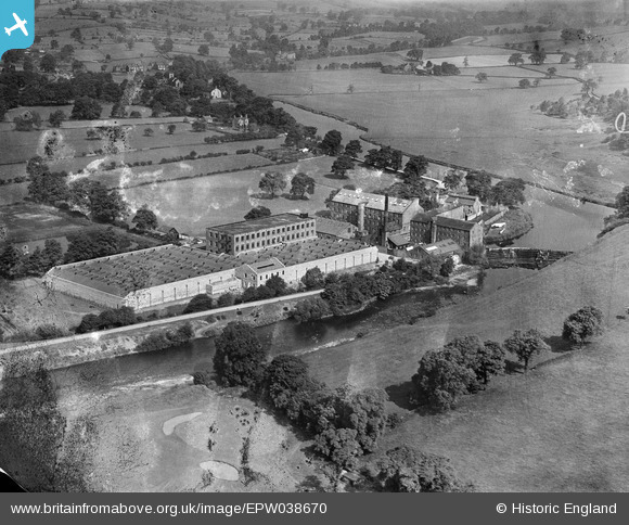
EPW038670 ENGLAND (1932). Low Mill, Addingham, 1932
© Copyright OpenStreetMap contributors and licensed by the OpenStreetMap Foundation. 2025. Cartography is licensed as CC BY-SA.
Nearby Images (7)
EPW038670

EPW038671

EPW024397

EPW024396

EPW038672

EPW038668

EPW038667

Details
| Title | [EPW038670] Low Mill, Addingham, 1932 |
| Reference | EPW038670 |
| Date | June-1932 |
| Link | |
| Place name | ADDINGHAM |
| Parish | ADDINGHAM |
| District | |
| Country | ENGLAND |
| Easting / Northing | 409102, 449252 |
| Longitude / Latitude | -1.8613320573157, 53.93910475208 |
| National Grid Reference | SE091493 |
Pins

Simon |
Friday 29th of January 2021 05:54:48 PM | |
|
Simon |
Friday 29th of January 2021 05:53:43 PM | |
|
Simon |
Friday 29th of January 2021 05:52:08 PM | |
|
Simon |
Friday 29th of January 2021 05:51:36 PM | |
|
Simon |
Friday 29th of January 2021 05:50:39 PM |