
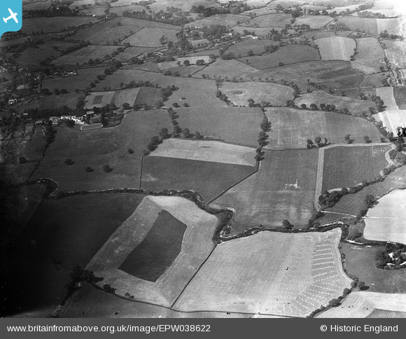
EPW038622 ENGLAND (1932). The Hollies, River Bollin and surrounding countryside, Dean Row, 1932
© Copyright OpenStreetMap contributors and licensed by the OpenStreetMap Foundation. 2025. Cartography is licensed as CC BY-SA.
Nearby Images (8)
EPW038622

EAW036126

EAW036127

EPW038621

EAW036128

EAW036125

EAW036124

EAW036122

Details
| Title | [EPW038622] The Hollies, River Bollin and surrounding countryside, Dean Row, 1932 |
| Reference | EPW038622 |
| Date | June-1932 |
| Link | |
| Place name | DEAN ROW |
| Parish | |
| District | |
| Country | ENGLAND |
| Easting / Northing | 387089, 380875 |
| Longitude / Latitude | -2.193859224661, 53.324368455079 |
| National Grid Reference | SJ871809 |
Pins
Be the first to add a comment to this image!