
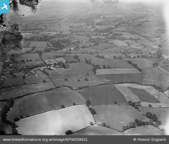
EPW038621 ENGLAND (1932). The Hollies, River Bollin and surrounding countryside, Dean Row, 1932
© Copyright OpenStreetMap contributors and licensed by the OpenStreetMap Foundation. 2025. Cartography is licensed as CC BY-SA.
Nearby Images (9)
EPW038621

EAW036127

EAW036126

EAW036128

EAW036125

EAW036124

EAW036122

EPW038622

EAW036123
, Dean Row, 1951. This image has been produced from a print marked by Aerofilms Ltd for photo editing.")
Details
| Title | [EPW038621] The Hollies, River Bollin and surrounding countryside, Dean Row, 1932 |
| Reference | EPW038621 |
| Date | June-1932 |
| Link | |
| Place name | DEAN ROW |
| Parish | |
| District | |
| Country | ENGLAND |
| Easting / Northing | 387027, 381037 |
| Longitude / Latitude | -2.1947967842253, 53.325823266082 |
| National Grid Reference | SJ870810 |
Pins
Be the first to add a comment to this image!