
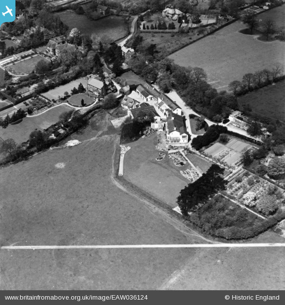
EAW036124 ENGLAND (1951). The Hollies Farm, Dean Row, 1951. This image has been produced from a print marked by Aerofilms Ltd for photo editing.
© Copyright OpenStreetMap contributors and licensed by the OpenStreetMap Foundation. 2025. Cartography is licensed as CC BY-SA.
Nearby Images (9)
EAW036124

EAW036122

EAW036125

EAW036128

EAW036123
, Dean Row, 1951. This image has been produced from a print marked by Aerofilms Ltd for photo editing.")
EPW038621

EAW036127

EAW036126

EPW038622

Details
| Title | [EAW036124] The Hollies Farm, Dean Row, 1951. This image has been produced from a print marked by Aerofilms Ltd for photo editing. |
| Reference | EAW036124 |
| Date | 17-May-1951 |
| Link | |
| Place name | DEAN ROW |
| Parish | |
| District | |
| Country | ENGLAND |
| Easting / Northing | 386870, 381099 |
| Longitude / Latitude | -2.1971567803617, 53.326376753783 |
| National Grid Reference | SJ869811 |
Pins
Be the first to add a comment to this image!