
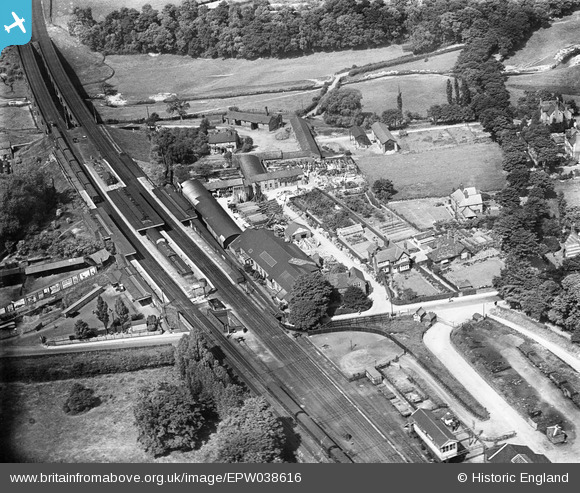
EPW038616 ENGLAND (1932). Wilmslow Railway Station, Wilmslow, 1932
© Copyright OpenStreetMap contributors and licensed by the OpenStreetMap Foundation. 2026. Cartography is licensed as CC BY-SA.
Nearby Images (5)
EPW038616

EPW038614

EPW038615

EPW019408

EPW019405

Details
| Title | [EPW038616] Wilmslow Railway Station, Wilmslow, 1932 |
| Reference | EPW038616 |
| Date | June-1932 |
| Link | |
| Place name | WILMSLOW |
| Parish | |
| District | |
| Country | ENGLAND |
| Easting / Northing | 385087, 381104 |
| Longitude / Latitude | -2.2239298849017, 53.326374461282 |
| National Grid Reference | SJ851811 |
Pins

Roger |
Sunday 21st of February 2016 06:19:03 PM | |
|
Roger |
Sunday 21st of February 2016 06:18:02 PM | |
|
beast66606 |
Wednesday 22nd of January 2014 09:25:53 PM | |
|
totoro |
Wednesday 19th of December 2012 04:14:14 PM | |
|
totoro |
Wednesday 19th of December 2012 04:13:43 PM | |
|
totoro |
Wednesday 19th of December 2012 04:13:05 PM | |
|
totoro |
Wednesday 19th of December 2012 04:11:32 PM | |
|
totoro |
Wednesday 19th of December 2012 04:09:53 PM |