
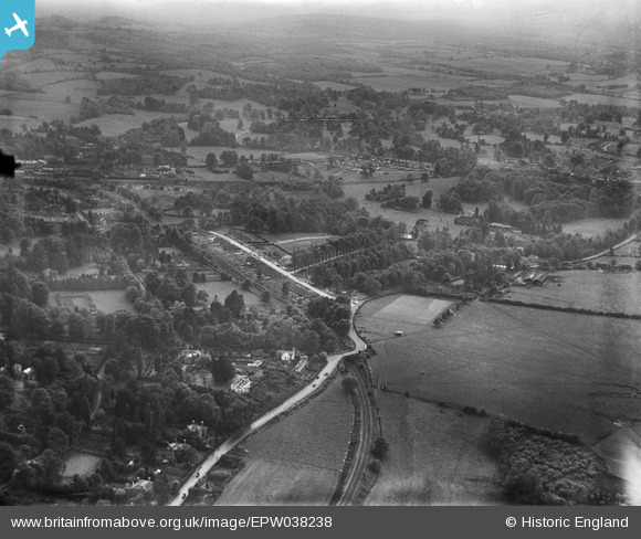
EPW038238 ENGLAND (1932). Oakdene Road and environs, Sevenoaks, 1932
© Copyright OpenStreetMap contributors and licensed by the OpenStreetMap Foundation. 2026. Cartography is licensed as CC BY-SA.
Nearby Images (9)
EPW038238

EPW044287

EPW044289

EPW044291

EPW044288

EPW044290

EPW044286

EPW038241

EPW038243

Details
| Title | [EPW038238] Oakdene Road and environs, Sevenoaks, 1932 |
| Reference | EPW038238 |
| Date | June-1932 |
| Link | |
| Place name | SEVENOAKS |
| Parish | SEVENOAKS |
| District | |
| Country | ENGLAND |
| Easting / Northing | 552354, 156205 |
| Longitude / Latitude | 0.18491645137834, 51.284071558189 |
| National Grid Reference | TQ524562 |
Pins

Gone2Kent |
Sunday 29th of March 2015 08:02:11 PM |