
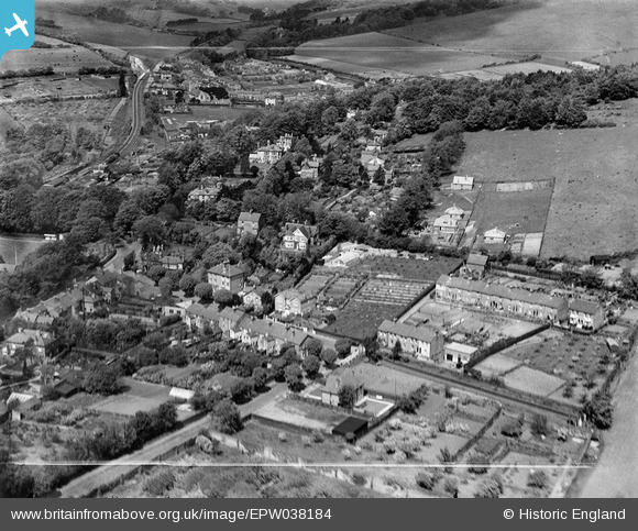
EPW038184 ENGLAND (1932). Kearnsey Avenue West and environs, Temple Ewell, 1932
© Copyright OpenStreetMap contributors and licensed by the OpenStreetMap Foundation. 2025. Cartography is licensed as CC BY-SA.
Nearby Images (3)
EPW038184

EPW038183

EPW038182

Details
| Title | [EPW038184] Kearnsey Avenue West and environs, Temple Ewell, 1932 |
| Reference | EPW038184 |
| Date | June-1932 |
| Link | |
| Place name | TEMPLE EWELL |
| Parish | TEMPLE EWELL |
| District | |
| Country | ENGLAND |
| Easting / Northing | 629179, 144003 |
| Longitude / Latitude | 1.2772580486453, 51.148801205203 |
| National Grid Reference | TR292440 |
