
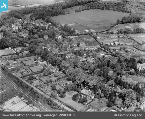
EPW038182 ENGLAND (1932). London Road and environs, Temple Ewell, 1932
© Copyright OpenStreetMap contributors and licensed by the OpenStreetMap Foundation. 2025. Cartography is licensed as CC BY-SA.
Nearby Images (3)
EPW038182

EPW038183

EPW038184

Details
| Title | [EPW038182] London Road and environs, Temple Ewell, 1932 |
| Reference | EPW038182 |
| Date | June-1932 |
| Link | |
| Place name | TEMPLE EWELL |
| Parish | TEMPLE EWELL |
| District | |
| Country | ENGLAND |
| Easting / Northing | 629249, 143845 |
| Longitude / Latitude | 1.2781566871958, 51.147354600196 |
| National Grid Reference | TR292438 |
Pins

Stubzi34 |
Sunday 7th of June 2015 11:01:46 PM | |
|
Stubzi34 |
Tuesday 1st of April 2014 08:34:35 PM | |
|
Stubzi34 |
Wednesday 1st of January 2014 06:28:01 AM | |
|
Stubzi34 |
Wednesday 1st of January 2014 05:36:41 AM |