
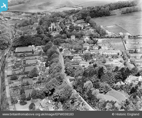
EPW038183 ENGLAND (1932). London Road and environs, Temple Ewell, 1932
© Copyright OpenStreetMap contributors and licensed by the OpenStreetMap Foundation. 2025. Cartography is licensed as CC BY-SA.
Nearby Images (3)
EPW038183

EPW038182

EPW038184

Details
| Title | [EPW038183] London Road and environs, Temple Ewell, 1932 |
| Reference | EPW038183 |
| Date | June-1932 |
| Link | |
| Place name | TEMPLE EWELL |
| Parish | TEMPLE EWELL |
| District | |
| Country | ENGLAND |
| Easting / Northing | 629224, 143857 |
| Longitude / Latitude | 1.2778074651876, 51.147472351556 |
| National Grid Reference | TR292439 |
Pins

CHARLIE |
Sunday 13th of November 2022 03:25:14 PM | |
|
Stubzi34 |
Tuesday 9th of August 2016 03:42:08 PM | |
|
Stubzi34 |
Wednesday 1st of January 2014 06:08:31 AM | |
|
Stubzi34 |
Wednesday 1st of January 2014 06:06:05 AM | |
|
Stubzi34 |
Wednesday 1st of January 2014 06:04:49 AM | |
|
Stubzi34 |
Wednesday 1st of January 2014 06:02:56 AM | |
|
Stubzi34 |
Wednesday 1st of January 2014 06:02:01 AM | |
|
Stubzi34 |
Wednesday 1st of January 2014 06:01:02 AM | |
|
Stubzi34 |
Wednesday 1st of January 2014 05:59:32 AM | |
|
Stubzi34 |
Wednesday 1st of January 2014 05:57:45 AM | |
|
Stubzi34 |
Wednesday 1st of January 2014 05:56:02 AM | |
|
Stubzi34 |
Wednesday 1st of January 2014 05:54:31 AM | |
|
Stubzi34 |
Wednesday 1st of January 2014 05:53:29 AM | |
|
Stubzi34 |
Wednesday 1st of January 2014 05:52:30 AM | |
|
Stubzi34 |
Wednesday 1st of January 2014 05:50:25 AM | |
|
Stubzi34 |
Wednesday 1st of January 2014 05:48:33 AM | |
|
Stubzi34 |
Wednesday 1st of January 2014 05:46:11 AM |