EPW037750 ENGLAND (1932). The docks and the city, Gloucester, 1932
    © Copyright OpenStreetMap contributors and licensed by the OpenStreetMap Foundation. 2025. Cartography is licensed as CC BY-SA.
  
Nearby Images (21)
Details
| Title | [EPW037750] The docks and the city, Gloucester, 1932 | 
| Reference | EPW037750 | 
| Date | May-1932 | 
| Link | |
| Place name | GLOUCESTER | 
| Parish | |
| District | |
| Country | ENGLAND | 
| Easting / Northing | 382682, 218165 | 
| Longitude / Latitude | -2.2515112991664, 51.861358069189 | 
| National Grid Reference | SO827182 | 
Pins
|  Royal Infirmary |   lea | Tuesday 20th of February 2018 05:15:11 PM | 
|  St Michael's Tower |   lea | Tuesday 20th of February 2018 05:13:02 PM | 
|  Crown Court |   lea | Monday 12th of February 2018 12:22:18 AM | 
|  Mariners Chapel |   lea | Monday 12th of February 2018 12:16:10 AM | 
|  Southgate Congregational Church |   lea | Monday 12th of February 2018 12:15:09 AM | 
| Class31 | Thursday 4th of June 2015 11:32:47 AM | |
| Class31 | Thursday 4th of June 2015 11:31:22 AM | |
| Class31 | Thursday 4th of June 2015 11:17:13 AM | |
| Class31 | Thursday 4th of June 2015 09:30:59 AM | 
User Comment Contributions
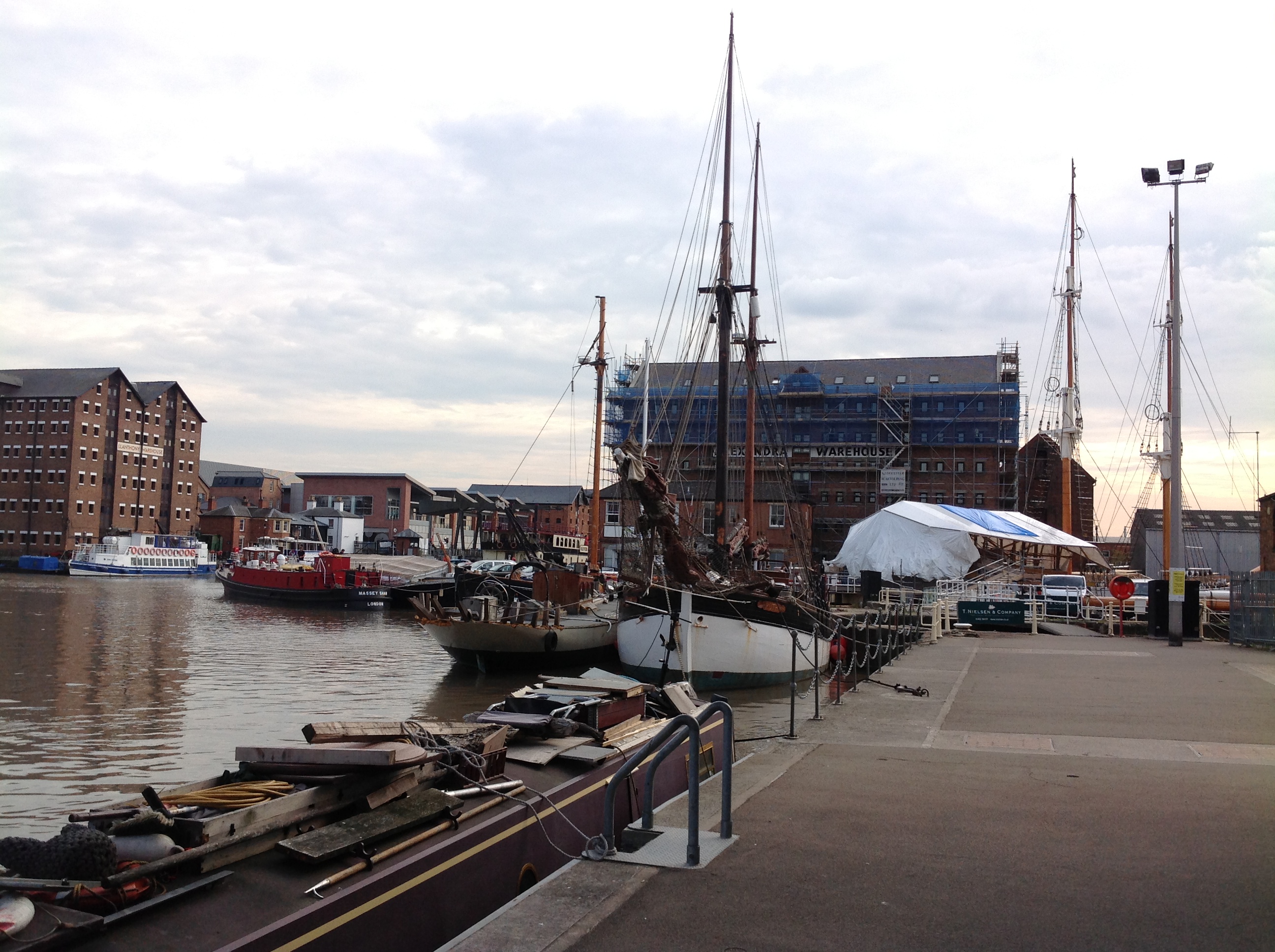
| Llanthony Bridge, Gloucester Docks, 03/06/2015 | Class31 | Thursday 4th of June 2015 11:29:40 AM | 
| Baker's Quay, Gloucester Docks, 03/06/2015 | Class31 | Thursday 4th of June 2015 11:18:30 AM | 
| Warehouses 27/09/2013 | Class31 | Monday 30th of September 2013 05:34:00 PM | 
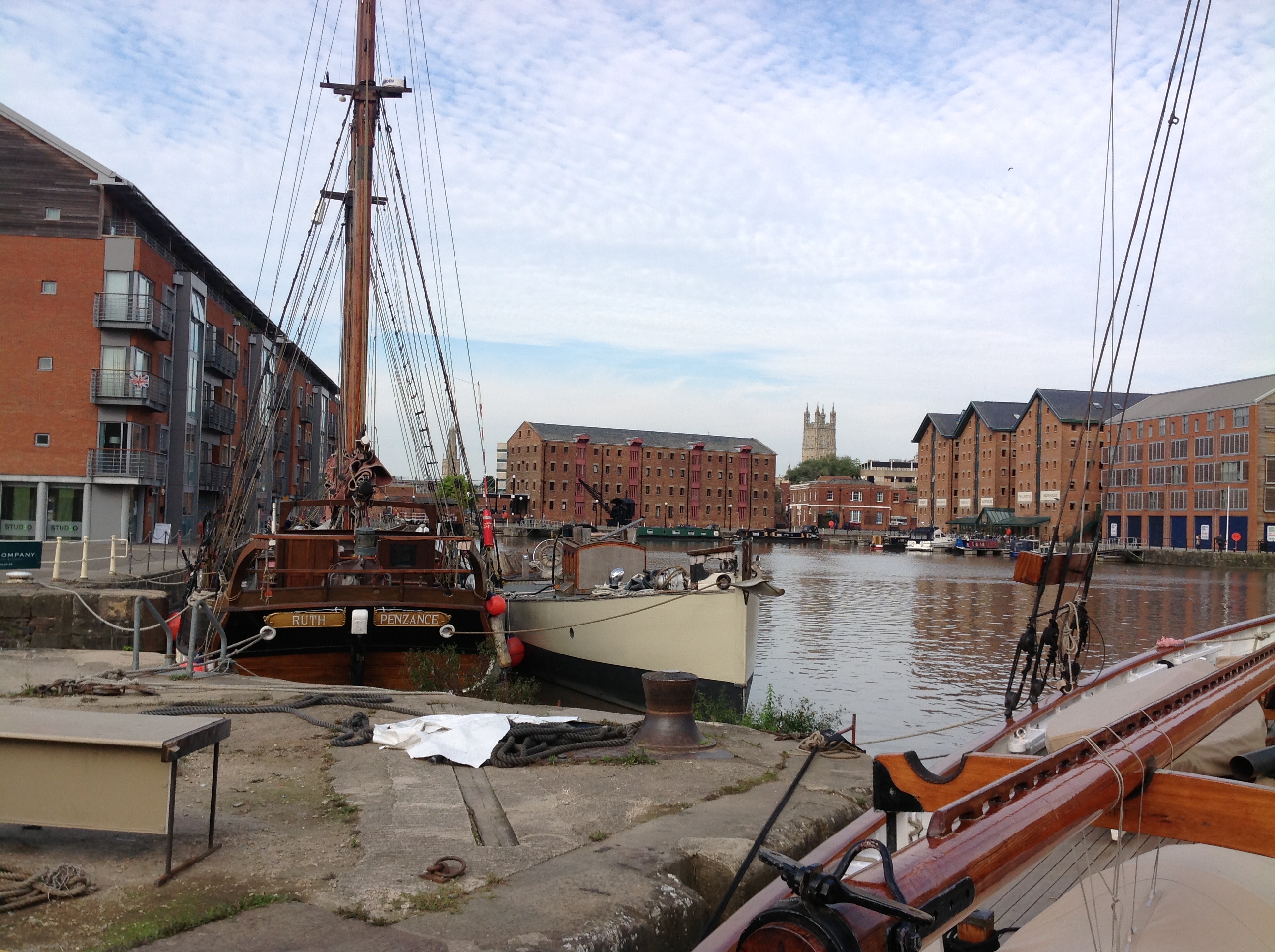
| Looking east across The Docks 27/09/2013 | Class31 | Monday 30th of September 2013 05:33:01 PM | 
| Looking north with the cathedral in the distance 27/09/2013 | Class31 | Monday 30th of September 2013 05:31:53 PM | 
| Looking south towards the Dry Dock 27/09/2013 | Class31 | Monday 30th of September 2013 05:24:08 PM | 
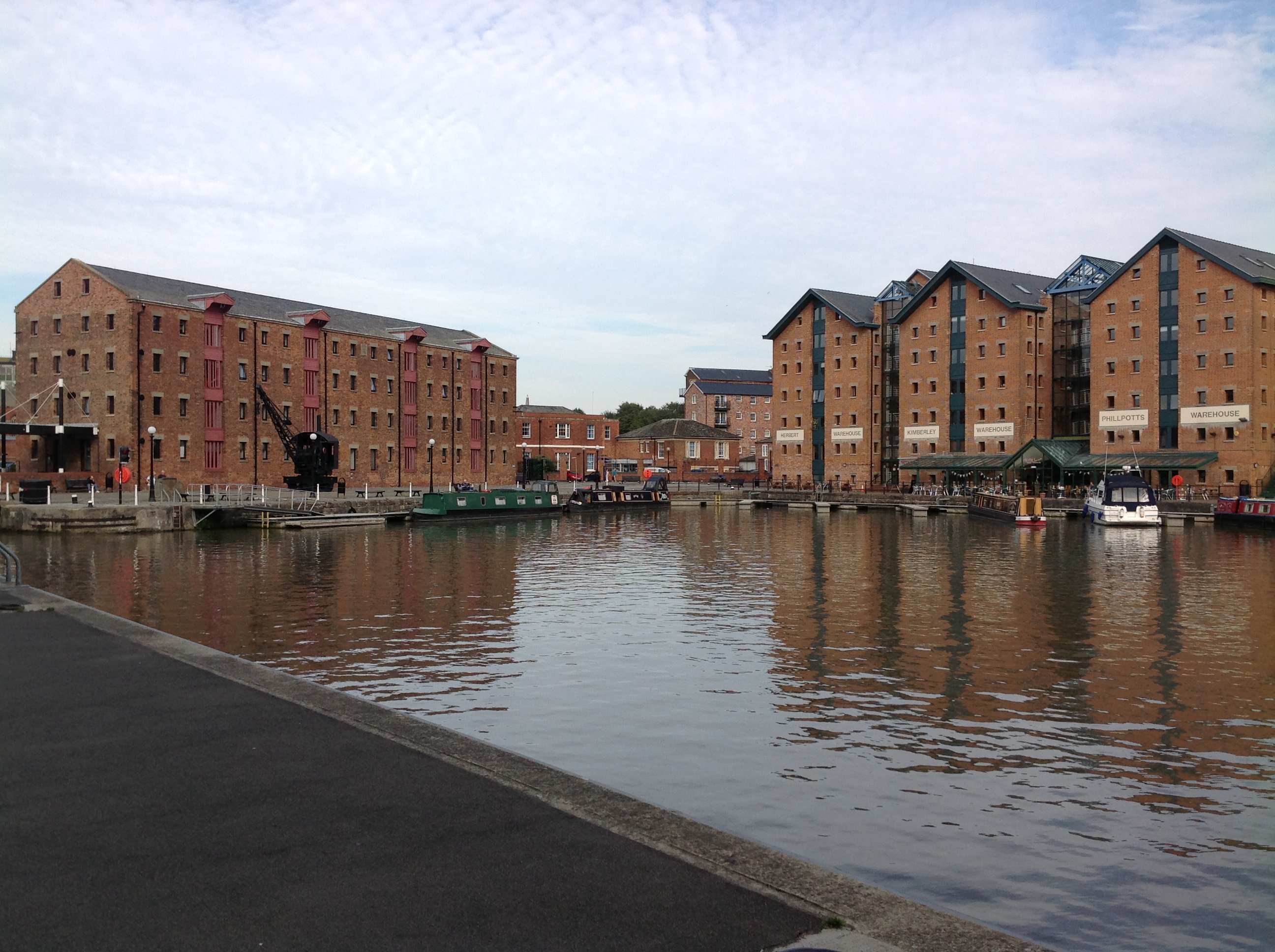
| North and east sides of The Docks 27/09/2013 | Class31 | Monday 30th of September 2013 05:22:18 PM | 
 
             
  ![[EPW037750] The docks and the city, Gloucester, 1932](http://britainfromabove.org.uk/sites/all/libraries/aerofilms-images/public/100x100/EPW/037/EPW037750.jpg) 
  
                                          ![[EPW037834] The docks, Gloucester, 1932](http://britainfromabove.org.uk/sites/all/libraries/aerofilms-images/public/100x100/EPW/037/EPW037834.jpg) 
 ![[EAW012202] Gloucester Docks, Gloucester, 1947](http://britainfromabove.org.uk/sites/all/libraries/aerofilms-images/public/100x100/EAW/012/EAW012202.jpg) 
 ![[EAW012200] Gloucester Docks, Gloucester, 1947](http://britainfromabove.org.uk/sites/all/libraries/aerofilms-images/public/100x100/EAW/012/EAW012200.jpg) 
 ![[EPW037751] The docks and the city, Gloucester, 1932](http://britainfromabove.org.uk/sites/all/libraries/aerofilms-images/public/100x100/EPW/037/EPW037751.jpg) 
 ![[EAW012197] Gloucester Docks, Gloucester, 1947](http://britainfromabove.org.uk/sites/all/libraries/aerofilms-images/public/100x100/EAW/012/EAW012197.jpg) 
 ![[EAW012204] Gloucester Docks and the surrounding warehouses, Gloucester, 1947](http://britainfromabove.org.uk/sites/all/libraries/aerofilms-images/public/100x100/EAW/012/EAW012204.jpg) 
 ![[EPW024166] The Docks and environs, Gloucester, 1928](http://britainfromabove.org.uk/sites/all/libraries/aerofilms-images/public/100x100/EPW/024/EPW024166.jpg) 
 ![[EPW024164] Victoria Dock, Southgate Street and environs, Gloucester, 1928](http://britainfromabove.org.uk/sites/all/libraries/aerofilms-images/public/100x100/EPW/024/EPW024164.jpg) 
 ![[EPW037749] The docks, Gloucester, 1932](http://britainfromabove.org.uk/sites/all/libraries/aerofilms-images/public/100x100/EPW/037/EPW037749.jpg) 
 ![[EAW012210] Gloucester Docks and the surrounding industrial area, Gloucester, 1947](http://britainfromabove.org.uk/sites/all/libraries/aerofilms-images/public/100x100/EAW/012/EAW012210.jpg) 
 ![[EPW048244] The Docks and the city, Gloucester, 1935. This image has been produced from a copy-negative.](http://britainfromabove.org.uk/sites/all/libraries/aerofilms-images/public/100x100/EPW/048/EPW048244.jpg) 
 ![[EAW021182] Castle Meads Power Station and environs, Gloucester, from the east, 1949. This image has been produced from a print.](http://britainfromabove.org.uk/sites/all/libraries/aerofilms-images/public/100x100/EAW/021/EAW021182.jpg) 
 ![[EAW012207] Gloucester Docks and the surrounding warehouses, Gloucester, 1947](http://britainfromabove.org.uk/sites/all/libraries/aerofilms-images/public/100x100/EAW/012/EAW012207.jpg) 
 ![[EAW021185] Castle Meads Power Station and the docks, Gloucester, 1949. This image has been produced from a print.](http://britainfromabove.org.uk/sites/all/libraries/aerofilms-images/public/100x100/EAW/021/EAW021185.jpg) 
 ![[EAW012209] Gloucester Docks and the surrounding area, Gloucester, 1947](http://britainfromabove.org.uk/sites/all/libraries/aerofilms-images/public/100x100/EAW/012/EAW012209.jpg) 
 ![[EPW024161] The Docks, Gloucester, 1928](http://britainfromabove.org.uk/sites/all/libraries/aerofilms-images/public/100x100/EPW/024/EPW024161.jpg) 
 ![[EAW021181] Castle Meads Power Station and the River Severn East Channel, Gloucester, 1949. This image has been produced from a print marked by Aerofilms Ltd for photo editing.](http://britainfromabove.org.uk/sites/all/libraries/aerofilms-images/public/100x100/EAW/021/EAW021181.jpg) 
 ![[EAW012211] Gloucester Docks, the remains of Llanthony Secunda Priory and the surrounding industrial area, Gloucester, 1947](http://britainfromabove.org.uk/sites/all/libraries/aerofilms-images/public/100x100/EAW/012/EAW012211.jpg) 
 ![[EAW018730] The city and docks, Gloucester, 1948. This image has been produced from a print.](http://britainfromabove.org.uk/sites/all/libraries/aerofilms-images/public/100x100/EAW/018/EAW018730.jpg) 
 ![[EAW021184] Castle Meads Power Station and environs, Gloucester, from the south, 1949. This image has been produced from a print.](http://britainfromabove.org.uk/sites/all/libraries/aerofilms-images/public/100x100/EAW/021/EAW021184.jpg)