
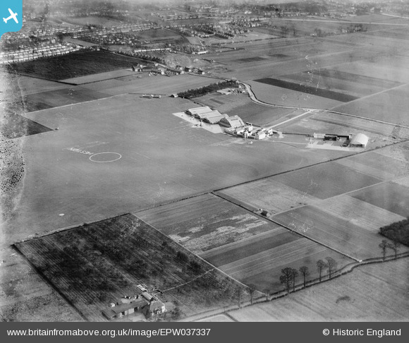
EPW037337 ENGLAND (1932). Heston Airport, Heston, from the north-west, 1932
© Copyright OpenStreetMap contributors and licensed by the OpenStreetMap Foundation. 2026. Cartography is licensed as CC BY-SA.
Nearby Images (36)
EPW037337

EPW060378

EAW039264

EAW039269

EAW039265

EPW043681

EPR000459

EPW043685

EPW043683

EPW043686

EPW037992

EPW043682

EAW039273

EPW037993

EAW039272

EPW044694

EAW039266

EPW044695

EAW039268

EPW025552

EPW037940

EPW037987

EAW039267

EPW037988

EPW041420

EAW039270

EAW039271

EPW037991

EPW033757

EPW043684

EPW034901

EPW037990

EPW033767

EPW031234
 at Heston Air Park, 1930")
EPW031236
 at Heston Air Park, 1930")
EPW031239
 at Heston Air Park, 1930")
Details
| Title | [EPW037337] Heston Airport, Heston, from the north-west, 1932 |
| Reference | EPW037337 |
| Date | April-1932 |
| Link | |
| Place name | HESTON |
| Parish | |
| District | |
| Country | ENGLAND |
| Easting / Northing | 511091, 177989 |
| Longitude / Latitude | -0.39972863510605, 51.489437367472 |
| National Grid Reference | TQ111780 |
Pins
Be the first to add a comment to this image!