
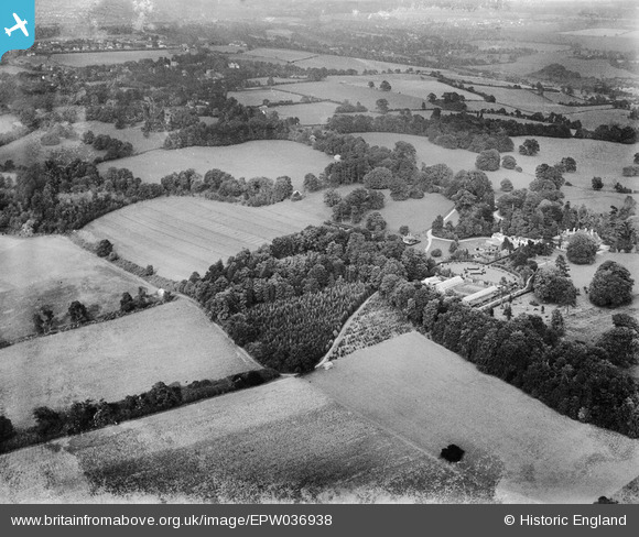
EPW036938 ENGLAND (1931). Shabden and Porters Wood, Chipstead, 1931
© Copyright OpenStreetMap contributors and licensed by the OpenStreetMap Foundation. 2025. Cartography is licensed as CC BY-SA.
Nearby Images (5)
EPW036938

EPW058956

EPW036655

EPW036654

EPW058955

Details
| Title | [EPW036938] Shabden and Porters Wood, Chipstead, 1931 |
| Reference | EPW036938 |
| Date | October-1931 |
| Link | |
| Place name | CHIPSTEAD |
| Parish | |
| District | |
| Country | ENGLAND |
| Easting / Northing | 527325, 156306 |
| Longitude / Latitude | -0.17377480407747, 51.291125772175 |
| National Grid Reference | TQ273563 |
Pins
Be the first to add a comment to this image!