
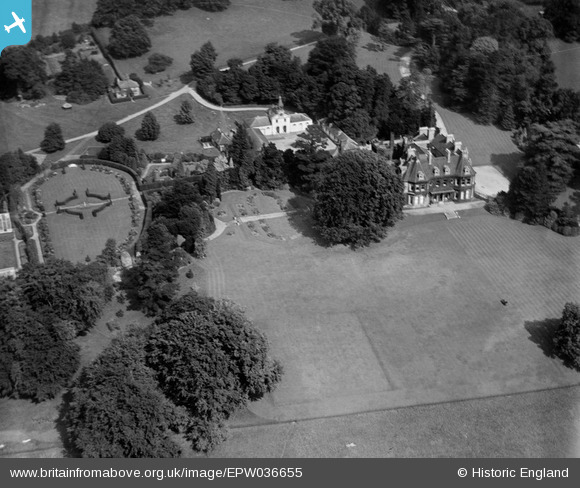
EPW036655 ENGLAND (1931). Shabden Park, Hooley, 1931
© Copyright OpenStreetMap contributors and licensed by the OpenStreetMap Foundation. 2025. Cartography is licensed as CC BY-SA.
Nearby Images (5)
EPW036655

EPW036654

EPW058955

EPW058956

EPW036938

Details
| Title | [EPW036655] Shabden Park, Hooley, 1931 |
| Reference | EPW036655 |
| Date | September-1931 |
| Link | |
| Place name | HOOLEY |
| Parish | |
| District | |
| Country | ENGLAND |
| Easting / Northing | 527479, 156131 |
| Longitude / Latitude | -0.17162967445515, 51.289518368868 |
| National Grid Reference | TQ275561 |
Pins
Be the first to add a comment to this image!