
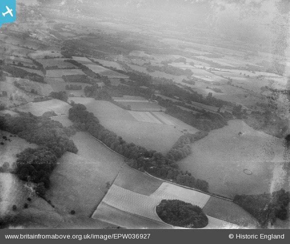
EPW036927 ENGLAND (1931). Ashstead Hill and environs, Gatton, from the south-west, 1931
© Copyright OpenStreetMap contributors and licensed by the OpenStreetMap Foundation. 2025. Cartography is licensed as CC BY-SA.
Nearby Images (3)
EPW036927

EPW036631

EPW036624

Details
| Title | [EPW036927] Ashstead Hill and environs, Gatton, from the south-west, 1931 |
| Reference | EPW036927 |
| Date | October-1931 |
| Link | |
| Place name | GATTON |
| Parish | |
| District | |
| Country | ENGLAND |
| Easting / Northing | 527627, 153870 |
| Longitude / Latitude | -0.17031593273983, 51.269162770036 |
| National Grid Reference | TQ276539 |
Pins
Be the first to add a comment to this image!