
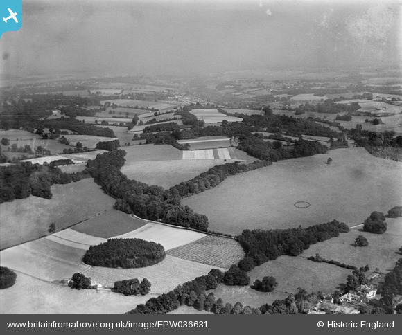
EPW036631 ENGLAND (1931). Ashstead Hill, Merstham, from the south-west, 1931
© Copyright OpenStreetMap contributors and licensed by the OpenStreetMap Foundation. 2025. Cartography is licensed as CC BY-SA.
Nearby Images (3)
EPW036631

EPW036927

EPW036624

Details
| Title | [EPW036631] Ashstead Hill, Merstham, from the south-west, 1931 |
| Reference | EPW036631 |
| Date | October-1931 |
| Link | |
| Place name | MERSTHAM |
| Parish | |
| District | |
| Country | ENGLAND |
| Easting / Northing | 527683, 153732 |
| Longitude / Latitude | -0.16956284044711, 51.267909842783 |
| National Grid Reference | TQ277537 |
Pins
Be the first to add a comment to this image!