
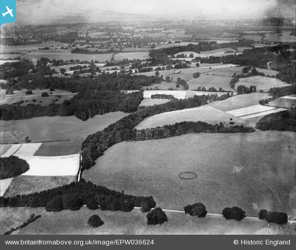
EPW036624 ENGLAND (1931). Ashstead Hill, Merstham, from the south-east, 1931
© Copyright OpenStreetMap contributors and licensed by the OpenStreetMap Foundation. 2025. Cartography is licensed as CC BY-SA.
Nearby Images (3)
EPW036624

EPW036631

EPW036927

Details
| Title | [EPW036624] Ashstead Hill, Merstham, from the south-east, 1931 |
| Reference | EPW036624 |
| Date | September-1931 |
| Link | |
| Place name | MERSTHAM |
| Parish | |
| District | |
| Country | ENGLAND |
| Easting / Northing | 527862, 153775 |
| Longitude / Latitude | -0.16698276039391, 51.268256200127 |
| National Grid Reference | TQ279538 |
Pins

SueG |
Tuesday 9th of December 2014 02:49:20 PM |