
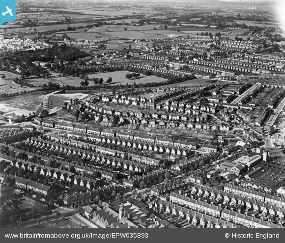
EPW035893 ENGLAND (1931). Housing surrounding Foxton Road, Watson Road and Tranter Road, Saltley, 1931. This image has been produced from a print.
© Copyright OpenStreetMap contributors and licensed by the OpenStreetMap Foundation. 2026. Cartography is licensed as CC BY-SA.
Nearby Images (8)
EPW035893

EPW035896

EPW035895

EPW035898

EPW035894

EPW035892

EPW035897

EPW058131

Details
| Title | [EPW035893] Housing surrounding Foxton Road, Watson Road and Tranter Road, Saltley, 1931. This image has been produced from a print. |
| Reference | EPW035893 |
| Date | July-1931 |
| Link | |
| Place name | SALTLEY |
| Parish | |
| District | |
| Country | ENGLAND |
| Easting / Northing | 410974, 288003 |
| Longitude / Latitude | -1.8383626944345, 52.489462929175 |
| National Grid Reference | SP110880 |
Pins
Be the first to add a comment to this image!