
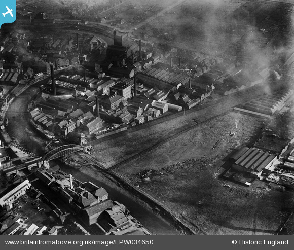
EPW034650 ENGLAND (1930). Ultramarine and Black Lead Works and other factories on Morley Street, Kingston upon Hull, 1930
© Copyright OpenStreetMap contributors and licensed by the OpenStreetMap Foundation. 2026. Cartography is licensed as CC BY-SA.
Nearby Images (14)
EPW034650

EPW036522

EPW034655

EPW034656

EPW034652

EPW034648

EPW036508

EPW036518

EPW034661

EPW036516

EPW036517

EPW036500

EPW010838

EPW034657

Details
| Title | [EPW034650] Ultramarine and Black Lead Works and other factories on Morley Street, Kingston upon Hull, 1930 |
| Reference | EPW034650 |
| Date | 16-October-1930 |
| Link | |
| Place name | KINGSTON UPON HULL |
| Parish | |
| District | |
| Country | ENGLAND |
| Easting / Northing | 510056, 430888 |
| Longitude / Latitude | -0.33028258002823, 53.762483915269 |
| National Grid Reference | TA101309 |
Pins

John Wass |
Tuesday 19th of August 2014 02:52:40 PM |