
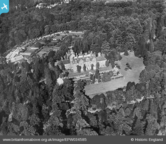
EPW034585 ENGLAND (1930). Brooklands House, Weybridge, 1930. This image has been produced from a copy-negative.
© Copyright OpenStreetMap contributors and licensed by the OpenStreetMap Foundation. 2025. Cartography is licensed as CC BY-SA.
Nearby Images (5)
EPW034585

EPW034586

EPW034584

EPW034583

EPW016859

Details
| Title | [EPW034585] Brooklands House, Weybridge, 1930. This image has been produced from a copy-negative. |
| Reference | EPW034585 |
| Date | August-1930 |
| Link | |
| Place name | WEYBRIDGE |
| Parish | |
| District | |
| Country | ENGLAND |
| Easting / Northing | 506951, 163713 |
| Longitude / Latitude | -0.46365241902408, 51.361903433018 |
| National Grid Reference | TQ070637 |
Pins
Be the first to add a comment to this image!