
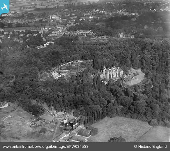
EPW034583 ENGLAND (1930). Brooklands House and Farm, Weybridge, 1930
© Copyright OpenStreetMap contributors and licensed by the OpenStreetMap Foundation. 2025. Cartography is licensed as CC BY-SA.
Nearby Images (4)
EPW034583

EPW034586

EPW034585

EPW034584

Details
| Title | [EPW034583] Brooklands House and Farm, Weybridge, 1930 |
| Reference | EPW034583 |
| Date | August-1930 |
| Link | |
| Place name | WEYBRIDGE |
| Parish | |
| District | |
| Country | ENGLAND |
| Easting / Northing | 506947, 163789 |
| Longitude / Latitude | -0.46368699420406, 51.362587387026 |
| National Grid Reference | TQ069638 |
Pins
Be the first to add a comment to this image!