
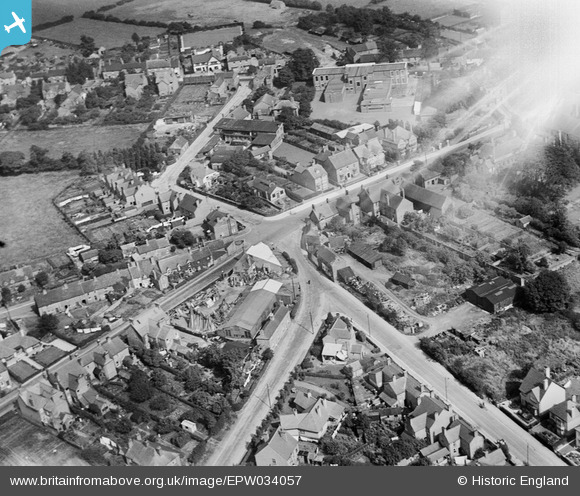
EPW034057 ENGLAND (1930). Penkridge Court, High Green and Park Road, Cannock, 1930. This image has been affected by flare.
© Copyright OpenStreetMap contributors and licensed by the OpenStreetMap Foundation. 2026. Cartography is licensed as CC BY-SA.
Nearby Images (4)
EPW034057

EPW015226

EPW034059

EPW015227

Details
| Title | [EPW034057] Penkridge Court, High Green and Park Road, Cannock, 1930. This image has been affected by flare. |
| Reference | EPW034057 |
| Date | July-1930 |
| Link | |
| Place name | CANNOCK |
| Parish | |
| District | |
| Country | ENGLAND |
| Easting / Northing | 397793, 310283 |
| Longitude / Latitude | -2.0326557891755, 52.689884759821 |
| National Grid Reference | SJ978103 |
Pins

Mr.Raffles |
Friday 5th of February 2021 06:52:53 PM | |
|
Mr.Raffles |
Friday 5th of February 2021 06:31:38 PM | |
|
D Dolphin |
Thursday 2nd of January 2020 12:13:55 PM | |
|
Tim |
Sunday 14th of February 2016 09:59:31 AM | |
|
tissuehankie44 |
Friday 6th of June 2014 07:46:52 PM | |
This is Hatherton Road |
Dave Bevington |
Friday 31st of July 2015 08:33:19 PM |
|
tissuehankie44 |
Friday 6th of June 2014 07:46:30 PM | |
|
tissuehankie44 |
Friday 6th of June 2014 07:45:31 PM | |
|
tissuehankie44 |
Friday 6th of June 2014 07:44:58 PM | |
|
Mr.Raffles |
Thursday 30th of January 2014 06:17:06 PM | |
|
tezzer |
Monday 18th of November 2013 07:37:28 PM | |
|
tezzer |
Monday 18th of November 2013 07:36:42 PM |