
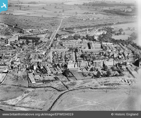
EPW034019 ENGLAND (1930). Foregate Street, His Majesty's Prison and environs, Stafford, 1930
© Copyright OpenStreetMap contributors and licensed by the OpenStreetMap Foundation. 2026. Cartography is licensed as CC BY-SA.
Nearby Images (19)
EPW034019

EAW024959

EPW056774

EPW056772

EPW056776

EPW056778

EPW056773

EPW056775

EAW001864

EPW056777

EPW053373

EAW024966

EPW020052

EAW024969

EAW024965

EAW024964

EAW024963

EAW024961
, Stafford, 1949. This image has been produced from a damaged negative.")
EAW024962
, Stafford, 1949. This image has been produced from a damaged negative.")
Details
| Title | [EPW034019] Foregate Street, His Majesty's Prison and environs, Stafford, 1930 |
| Reference | EPW034019 |
| Date | July-1930 |
| Link | |
| Place name | STAFFORD |
| Parish | |
| District | |
| Country | ENGLAND |
| Easting / Northing | 392022, 323774 |
| Longitude / Latitude | -2.118374325337, 52.811122362113 |
| National Grid Reference | SJ920238 |
Pins
Be the first to add a comment to this image!