
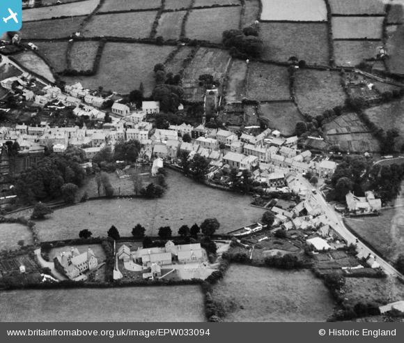
EPW033094 ENGLAND (1930). The town centre and grammar school, Camelford, 1930
© Copyright OpenStreetMap contributors and licensed by the OpenStreetMap Foundation. 2026. Cartography is licensed as CC BY-SA.
Nearby Images (9)
EPW033094

EPW039792

EPW033097

EPW039794

EAW033652

EAW033650

EPW039791

EPW033096

EAW033651

Details
| Title | [EPW033094] The town centre and grammar school, Camelford, 1930 |
| Reference | EPW033094 |
| Date | July-1930 |
| Link | |
| Place name | CAMELFORD |
| Parish | CAMELFORD |
| District | |
| Country | ENGLAND |
| Easting / Northing | 210597, 83724 |
| Longitude / Latitude | -4.6779570362501, 50.621833292138 |
| National Grid Reference | SX106837 |
Pins

Kasey |
Tuesday 11th of April 2023 06:07:53 AM |