
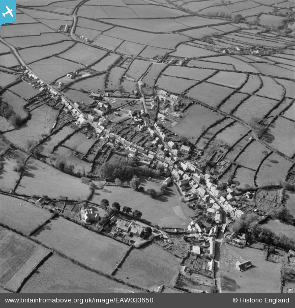
EAW033650 ENGLAND (1950). The town, Camelford, 1950
© Copyright OpenStreetMap contributors and licensed by the OpenStreetMap Foundation. 2026. Cartography is licensed as CC BY-SA.
Nearby Images (10)
EAW033650

EPW039791

EAW033652

EAW033651

EPW033094

EPW039792

EPW033097

EPW039794

EPW039793

EPW033096

Details
| Title | [EAW033650] The town, Camelford, 1950 |
| Reference | EAW033650 |
| Date | 12-October-1950 |
| Link | |
| Place name | CAMELFORD |
| Parish | CAMELFORD |
| District | |
| Country | ENGLAND |
| Easting / Northing | 210537, 83615 |
| Longitude / Latitude | -4.6787487139247, 50.620834541691 |
| National Grid Reference | SX105836 |
Pins

Kasey |
Tuesday 11th of April 2023 06:11:49 AM |