
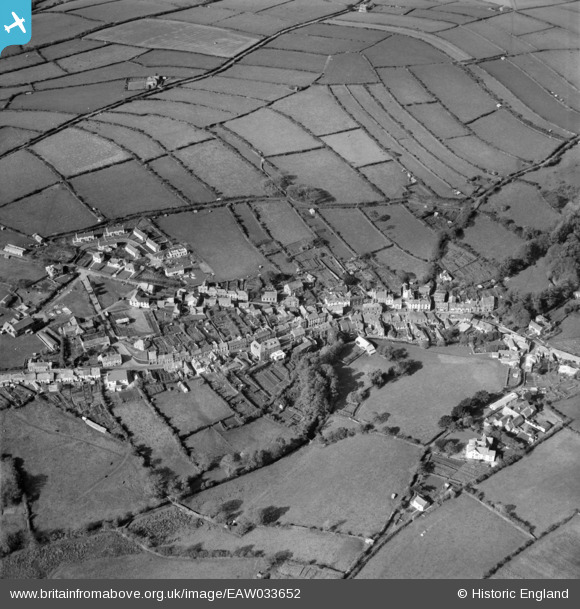
EAW033652 ENGLAND (1950). The town, Camelford, 1950
© Copyright OpenStreetMap contributors and licensed by the OpenStreetMap Foundation. 2026. Cartography is licensed as CC BY-SA.
Nearby Images (9)
EAW033652

EAW033650

EPW039792

EPW033094

EPW039791

EAW033651

EPW033097

EPW039794

EPW033096

Details
| Title | [EAW033652] The town, Camelford, 1950 |
| Reference | EAW033652 |
| Date | 12-October-1950 |
| Link | |
| Place name | CAMELFORD |
| Parish | CAMELFORD |
| District | |
| Country | ENGLAND |
| Easting / Northing | 210517, 83686 |
| Longitude / Latitude | -4.6790674233244, 50.621465908746 |
| National Grid Reference | SX105837 |
Pins
Be the first to add a comment to this image!