
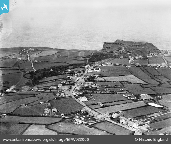
EPW033066 ENGLAND (1930). The village and the castle, Tintagel, from the south-east, 1930
© Copyright OpenStreetMap contributors and licensed by the OpenStreetMap Foundation. 2026. Cartography is licensed as CC BY-SA.
Nearby Images (5)
EPW033066

EPW033067

EAW020261

EPW033065

EAW020263

Details
| Title | [EPW033066] The village and the castle, Tintagel, from the south-east, 1930 |
| Reference | EPW033066 |
| Date | July-1930 |
| Link | |
| Place name | TINTAGEL |
| Parish | TINTAGEL |
| District | |
| Country | ENGLAND |
| Easting / Northing | 205829, 88401 |
| Longitude / Latitude | -4.7477408665324, 50.662280914395 |
| National Grid Reference | SX058884 |
Pins

Andy Burton |
Thursday 24th of July 2014 02:28:18 PM | |
|
piglittel |
Saturday 11th of May 2013 05:22:25 PM | |
|
piglittel |
Thursday 10th of January 2013 08:48:51 PM | |
|
piglittel |
Thursday 10th of January 2013 08:48:11 PM | |
|
piglittel |
Thursday 10th of January 2013 08:28:49 PM | |
|
piglittel |
Thursday 10th of January 2013 08:27:47 PM | |
|
piglittel |
Thursday 10th of January 2013 08:26:58 PM | |
|
piglittel |
Thursday 10th of January 2013 08:26:11 PM | |
|
piglittel |
Thursday 10th of January 2013 08:25:35 PM |