
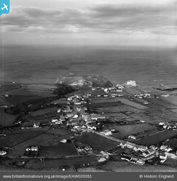
EAW020261 ENGLAND (1948). Tintagel village looking towards The Island, Tintagel, from the south-east, 1948. This image has been produced from a print.
© Copyright OpenStreetMap contributors and licensed by the OpenStreetMap Foundation. 2026. Cartography is licensed as CC BY-SA.
Nearby Images (6)
EAW020261

EPW033065

EAW020263

EPW033066

EPW033067

EPW033064

Details
| Title | [EAW020261] Tintagel village looking towards The Island, Tintagel, from the south-east, 1948. This image has been produced from a print. |
| Reference | EAW020261 |
| Date | 27-October-1948 |
| Link | |
| Place name | TINTAGEL |
| Parish | TINTAGEL |
| District | |
| Country | ENGLAND |
| Easting / Northing | 205767, 88400 |
| Longitude / Latitude | -4.7486166362953, 50.662251252966 |
| National Grid Reference | SX058884 |
Pins

Andy Burton |
Friday 31st of October 2014 03:38:38 PM |