
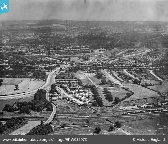
EPW032973 ENGLAND (1930). Endersleigh Gardens and Watford Way, Hendon, from the north-west, 1930
© Copyright OpenStreetMap contributors and licensed by the OpenStreetMap Foundation. 2026. Cartography is licensed as CC BY-SA.
Nearby Images (10)
EPW032973

EPW032972

EPW032977

EPW032978

EPW032979

EPW032976

EPW032974

EAW020704

EPW006779

EPW032975

Details
| Title | [EPW032973] Endersleigh Gardens and Watford Way, Hendon, from the north-west, 1930 |
| Reference | EPW032973 |
| Date | June-1930 |
| Link | |
| Place name | HENDON |
| Parish | |
| District | |
| Country | ENGLAND |
| Easting / Northing | 522196, 189059 |
| Longitude / Latitude | -0.23599476168881, 51.586645516139 |
| National Grid Reference | TQ222891 |
Pins
Be the first to add a comment to this image!