
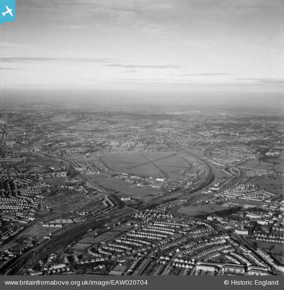
EAW020704 ENGLAND (1948). RAF Hendon and environs, Hendon, from the south-east, 1948
© Copyright OpenStreetMap contributors and licensed by the OpenStreetMap Foundation. 2026. Cartography is licensed as CC BY-SA.
Nearby Images (10)
EAW020704

EPW032975

EPW032973

EPW032979

EPW032978

EPW032972

EPW032974

EPW032976

EPW032977

EPW006779

Details
| Title | [EAW020704] RAF Hendon and environs, Hendon, from the south-east, 1948 |
| Reference | EAW020704 |
| Date | 17-December-1948 |
| Link | |
| Place name | HENDON |
| Parish | |
| District | |
| Country | ENGLAND |
| Easting / Northing | 522209, 189171 |
| Longitude / Latitude | -0.23576818990141, 51.587649364277 |
| National Grid Reference | TQ222892 |
