
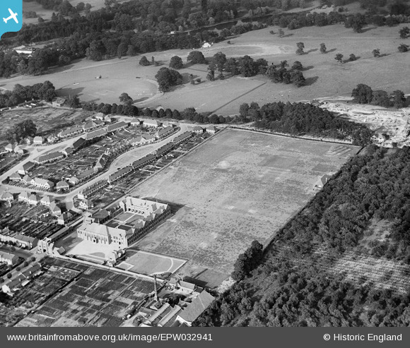
EPW032941 ENGLAND (1930). Maidstone Grammar School and playing field, Maidstone, 1930
© Copyright OpenStreetMap contributors and licensed by the OpenStreetMap Foundation. 2026. Cartography is licensed as CC BY-SA.
Nearby Images (9)
EPW032941

EPW032944

EPW032938

EPW026071

EPW032943

EPW032942

EPW032945

EPW032940

EPW032939

Details
| Title | [EPW032941] Maidstone Grammar School and playing field, Maidstone, 1930 |
| Reference | EPW032941 |
| Date | June-1930 |
| Link | |
| Place name | MAIDSTONE |
| Parish | |
| District | |
| Country | ENGLAND |
| Easting / Northing | 576806, 154847 |
| Longitude / Latitude | 0.53456918293517, 51.264806247179 |
| National Grid Reference | TQ768548 |
Pins
Be the first to add a comment to this image!