
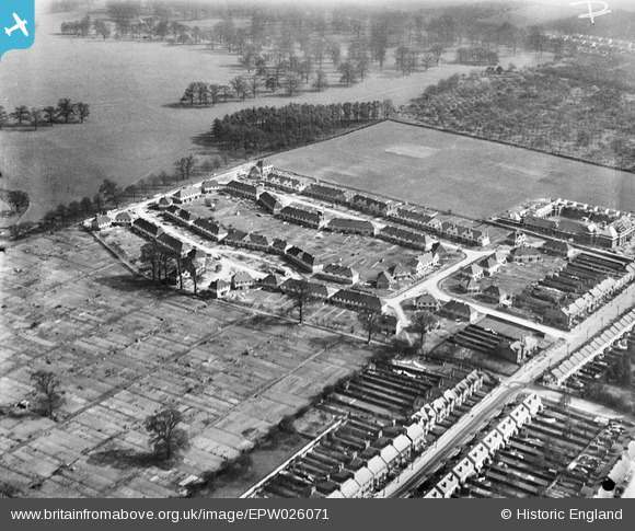
EPW026071 ENGLAND (1929). The Foster Clark Estate, Maidstone, 1929
© Copyright OpenStreetMap contributors and licensed by the OpenStreetMap Foundation. 2026. Cartography is licensed as CC BY-SA.
Nearby Images (9)
EPW026071

EPW032944

EPW032941

EPW032938

EPW032939

EPW032942

EPW032940

EPW032945

EPW032943

Details
| Title | [EPW026071] The Foster Clark Estate, Maidstone, 1929 |
| Reference | EPW026071 |
| Date | April-1929 |
| Link | |
| Place name | MAIDSTONE |
| Parish | |
| District | |
| Country | ENGLAND |
| Easting / Northing | 576751, 155000 |
| Longitude / Latitude | 0.5338572010035, 51.26619786835 |
| National Grid Reference | TQ768550 |
Pins
 |

Library Lil |
Thursday 21st of May 2020 01:16:33 PM |