
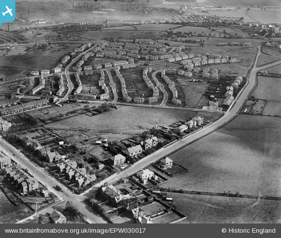
EPW030017 ENGLAND (1929). The Rose Hill Estate and environs, Burnley, 1929
© Copyright OpenStreetMap contributors and licensed by the OpenStreetMap Foundation. 2026. Cartography is licensed as CC BY-SA.
Nearby Images (4)
EPW030017

EPW030015

EPW030016

EPW030013

Details
| Title | [EPW030017] The Rose Hill Estate and environs, Burnley, 1929 |
| Reference | EPW030017 |
| Date | October-1929 |
| Link | |
| Place name | BURNLEY |
| Parish | |
| District | |
| Country | ENGLAND |
| Easting / Northing | 383432, 430961 |
| Longitude / Latitude | -2.2514232006994, 53.774504768941 |
| National Grid Reference | SD834310 |
Pins

Ralph Pomeroy |
Saturday 15th of February 2025 11:09:34 AM | |
|
Ralph Pomeroy |
Saturday 15th of February 2025 11:09:02 AM | |
|
Ralph Pomeroy |
Saturday 15th of February 2025 11:08:11 AM | |
|
Ralph Pomeroy |
Saturday 15th of February 2025 11:07:22 AM | |
|
Ralph Pomeroy |
Saturday 15th of February 2025 11:06:42 AM | |
|
Ralph Pomeroy |
Saturday 15th of February 2025 11:04:32 AM | |
|
Ralph Pomeroy |
Saturday 15th of February 2025 11:03:28 AM | |
|
Ralph Pomeroy |
Saturday 15th of February 2025 11:02:17 AM | |
|
Ralph Pomeroy |
Saturday 15th of February 2025 11:01:12 AM | |
|
Ralph Pomeroy |
Saturday 15th of February 2025 10:59:33 AM | |
|
Ralph Pomeroy |
Saturday 15th of February 2025 10:58:32 AM | |
|
Ralph Pomeroy |
Saturday 15th of February 2025 10:57:46 AM | |
|
Ralph Pomeroy |
Saturday 15th of February 2025 10:56:01 AM | |
|
Ralph Pomeroy |
Saturday 15th of February 2025 10:55:14 AM | |
|
TONYB |
Saturday 6th of January 2024 05:08:47 PM |