
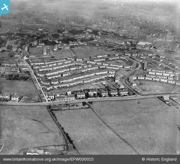
EPW030015 ENGLAND (1929). The Rose Hill Estate, Burnley, 1929
© Copyright OpenStreetMap contributors and licensed by the OpenStreetMap Foundation. 2026. Cartography is licensed as CC BY-SA.
Nearby Images (5)
EPW030015

EPW030016

EPW030013

EPW030017

EPW030014

Details
| Title | [EPW030015] The Rose Hill Estate, Burnley, 1929 |
| Reference | EPW030015 |
| Date | October-1929 |
| Link | |
| Place name | BURNLEY |
| Parish | |
| District | |
| Country | ENGLAND |
| Easting / Northing | 383561, 431012 |
| Longitude / Latitude | -2.2494683349868, 53.774967294893 |
| National Grid Reference | SD836310 |
