
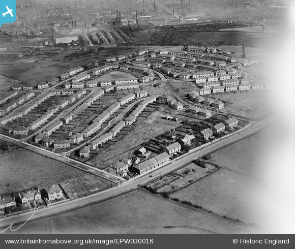
EPW030016 ENGLAND (1929). The Rose Hill Estate, Burnley, 1929
© Copyright OpenStreetMap contributors and licensed by the OpenStreetMap Foundation. 2026. Cartography is licensed as CC BY-SA.
Nearby Images (5)
EPW030016

EPW030015

EPW030013

EPW030017

EPW030014

Details
| Title | [EPW030016] The Rose Hill Estate, Burnley, 1929 |
| Reference | EPW030016 |
| Date | October-1929 |
| Link | |
| Place name | BURNLEY |
| Parish | |
| District | |
| Country | ENGLAND |
| Easting / Northing | 383582, 430976 |
| Longitude / Latitude | -2.2491477385847, 53.774644354844 |
| National Grid Reference | SD836310 |
Pins
Be the first to add a comment to this image!