
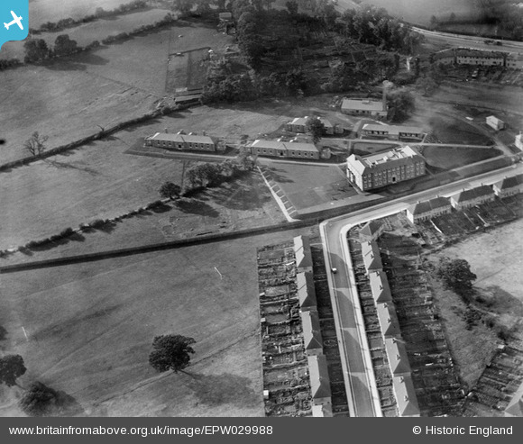
EPW029988 ENGLAND (1929). Hendon Corporation Isolation Hospital, West Hendon, 1929
© Copyright OpenStreetMap contributors and licensed by the OpenStreetMap Foundation. 2026. Cartography is licensed as CC BY-SA.
Nearby Images (12)
EPW029988

EPW030079

EPW029986

EPW029987

EPW029984

EPW029985

EPW030078

EPW021259

EAW020700

EPW034475

EPW034478

EAW020701

Details
| Title | [EPW029988] Hendon Corporation Isolation Hospital, West Hendon, 1929 |
| Reference | EPW029988 |
| Date | September-1929 |
| Link | |
| Place name | WEST HENDON |
| Parish | |
| District | |
| Country | ENGLAND |
| Easting / Northing | 521307, 188396 |
| Longitude / Latitude | -0.24905089743765, 51.580878475138 |
| National Grid Reference | TQ213884 |
