
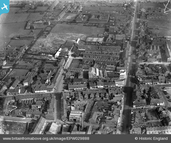
EPW029888 ENGLAND (1929). Ashton Road and Hyde Road, Denton, 1929
© Copyright OpenStreetMap contributors and licensed by the OpenStreetMap Foundation. 2026. Cartography is licensed as CC BY-SA.
Nearby Images (9)
EPW029888

EPW062842

EPW062848

EPW029890

EPW062846

EPW062843

EPW062844

EPW062849

EPW029889

Details
| Title | [EPW029888] Ashton Road and Hyde Road, Denton, 1929 |
| Reference | EPW029888 |
| Date | September-1929 |
| Link | |
| Place name | DENTON |
| Parish | |
| District | |
| Country | ENGLAND |
| Easting / Northing | 392607, 395589 |
| Longitude / Latitude | -2.1113511117416, 53.456747418653 |
| National Grid Reference | SJ926956 |
Pins

Kevster69 |
Sunday 7th of June 2020 08:33:41 PM | |

Class31 |
Tuesday 26th of March 2013 09:01:14 PM | |
|
Class31 |
Tuesday 26th of March 2013 09:00:14 PM | |
|
Class31 |
Tuesday 26th of March 2013 08:58:09 PM | |
|
Class31 |
Tuesday 26th of March 2013 08:56:18 PM | |
|
Class31 |
Tuesday 26th of March 2013 08:55:35 PM | |
|
Class31 |
Tuesday 26th of March 2013 08:54:15 PM |
User Comment Contributions
This picture shows manchester road running top to bottom with the RBS building standing out on the North East corner of Crown Point |
Simon DWCC |
Friday 19th of October 2012 07:10:59 PM |