
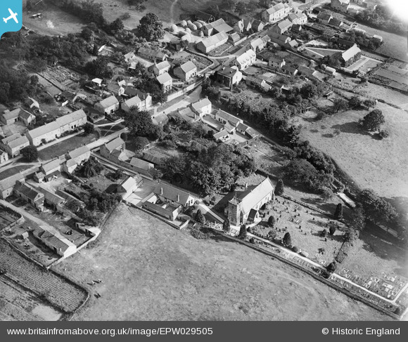
EPW029505 ENGLAND (1929). St Hilda's Church and environs, Ampleforth, 1929
© Copyright OpenStreetMap contributors and licensed by the OpenStreetMap Foundation. 2026. Cartography is licensed as CC BY-SA.
Nearby Images (3)
EPW029505

EPW029502

EPW029501

Details
| Title | [EPW029505] St Hilda's Church and environs, Ampleforth, 1929 |
| Reference | EPW029505 |
| Date | 24-September-1929 |
| Link | |
| Place name | AMPLEFORTH |
| Parish | AMPLEFORTH |
| District | |
| Country | ENGLAND |
| Easting / Northing | 458297, 478683 |
| Longitude / Latitude | -1.1062465228582, 54.200413487448 |
| National Grid Reference | SE583787 |
Pins
Be the first to add a comment to this image!