
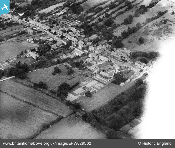
EPW029502 ENGLAND (1929). The village, Ampleforth, 1929
© Copyright OpenStreetMap contributors and licensed by the OpenStreetMap Foundation. 2026. Cartography is licensed as CC BY-SA.
Nearby Images (2)
EPW029502

EPW029505

Details
| Title | [EPW029502] The village, Ampleforth, 1929 |
| Reference | EPW029502 |
| Date | 24-September-1929 |
| Link | |
| Place name | AMPLEFORTH |
| Parish | AMPLEFORTH |
| District | |
| Country | ENGLAND |
| Easting / Northing | 458418, 478703 |
| Longitude / Latitude | -1.1043878305175, 54.200579459871 |
| National Grid Reference | SE584787 |
Pins
Be the first to add a comment to this image!